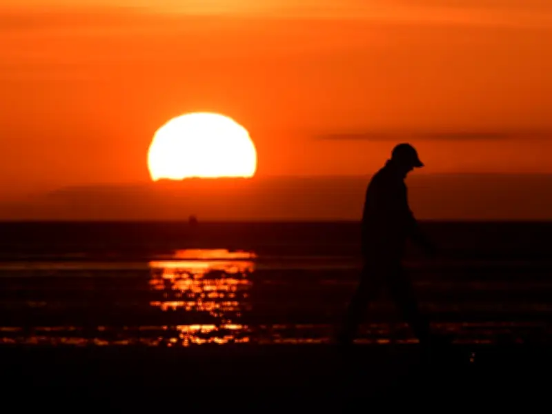
The Met Office has issued its forecast as temperatures could reach 25 degrees Celsius in some parts of the UK this week. The forecaster has indicated that more heatwaves may arrive over the summer months, following the warmest May on record in England.
Weather Outlook for the Week
After a rather unsettled start to June, warmer weather is expected towards the end of the week. Met Office forecaster Craig Snell stated: "There are hints as we go into the weekend we may well see a slight warming up. It's hinting at 24C for London on Saturday, at least into the low 20s, maybe mid-20s across the South East."
A band of rain will spread east on Monday, followed by sunshine and scattered showers on Tuesday and Wednesday. Thursday will see another band of rain across the country, while Friday will bring sunshine and showers. By the weekend, higher pressure will build over the south, but it may take longer for conditions to settle in the north.

Mr Snell added: "After quite a bit of a changeable week with some potential cold periods, when it settles down even 24C, 25C could potentially feel markedly warmer."
Temperature Breakdown
Maximum temperatures during the working week are expected to range between 17C and 18C in southern areas and between 15C and 16C further north. Over the weekend, temperatures are expected to reach the low 20s in the south, with the potential for 24C or 25C in the South East, and the high teens in the north.
In Merseyside, temperatures could reach 20C on Friday, followed by 22C on Saturday and 25C on Sunday, according to the Met Office's current forecast.
Record-Breaking Spring and Summer Outlook
The change in weather follows a record-breaking spell of heat at the end of May, which resulted in the warmest spring on record in England. The Met Office recently shared its summer outlook, noting an "increased chance of heatwaves and heat-related impacts."
Higher than average temperatures are forecast due to our warming climate. Having a hotter summer is now twice as likely compared to the average reference period of 1991 to 2020. MeteoGroup and BBC weather also suggested we could see "notable high temperature spikes" with above-average temperatures expected in June, July, and August.
Long-Range Forecast
In its long-range outlook for June, the Met Office said temperatures could turn "hot" in places, but also warned of the possibility of thunderstorms. The forecast for June 16 to 30 reads: "The start of the period is likely to be relatively settled, with high pressure in the vicinity of the UK bringing drier conditions to most parts of the UK. However some showers or spells of rain are still possible. Winds will mostly be light with temperatures probably above normal."
Towards the end of June, low pressure may begin to have more of an influence, especially across the south where heavy showers and thunderstorms become more probable. It may also become hot in parts of the south.