
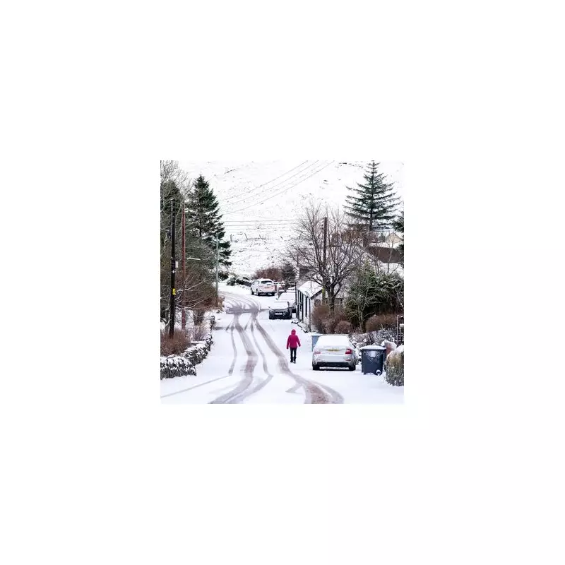
The Scottish Highlands are on high alert after the Scottish Avalanche Information Service (SAIS) issued six formal warnings for unstable snow conditions. Two of these are amber-level 'considerable hazard' warnings, indicating a serious risk of avalanches in specific mountain areas.
Where Are the Avalanche Warnings in Place?
Four yellow 'moderate hazard' warnings and two amber 'considerable hazard' warnings are currently active. The affected areas span some of Scotland's most famous and rugged terrain.
The amber warnings, signalling the highest level of risk, are focused on two locations. The first is the Lochaber area near Fort William, which includes the UK's highest peak, Ben Nevis. SAIS reports evidence of three avalanches already occurring in gullies on the mountain. The second amber warning covers Creag Meagaidh, to the north-east of Ben Nevis.

Yellow warnings are in effect for:
- Northern and southern parts of the Cairngorms National Park.
- The Glencoe area.
- Torridon in the north-west Highlands.
What's Causing the Dangerous Conditions?
The hazard is being driven by a combination of significant fresh snowfall and strong winds. Overnight snowfalls, coupled with gale-force south-south-westerly winds, are creating unstable 'windslab' formations. These slabs of snow can build up on lee slopes and are prone to sudden release, thundering down into valleys below.
In the Cairngorms and Torridon, the windslab risk is pronounced above 600-700 metres. For Glencoe and the amber warning areas, forecasters predict persistent snow showers, with up to 20cm of new snow possible on the highest peaks. The freezing level is expected to fluctuate between 700m and 950m, meaning rain at lower elevations could turn to snow higher up.
Broader Weather Outlook and Travel Advice
The immediate avalanche threat comes as the Met Office warns of a broader shift towards colder, more wintry conditions across the UK later in January. Their long-range forecast for January 19 to 28 indicates an increased chance of colder temperatures returning, which raises the potential for snow across parts of the country.
For the end of January and early February, the Met Office highlights an ongoing risk of "cold conditions" and associated "wintry hazards." This follows a week of unsettled weather, with a deep area of low pressure expected to bring heavy rain and strong winds across the UK on Thursday, January 15.
Walkers, climbers, and skiers are urged to check the detailed SAIS forecasts for their specific destination before heading into the hills. The service advises that conditions are dynamic and dangerous, with two avalanches already recorded in the past 48 hours outside the current warning zones, underscoring the widespread instability.


