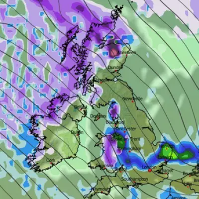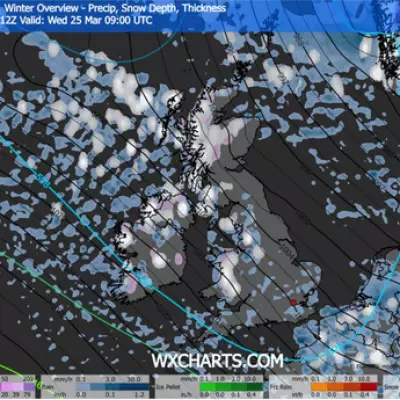
The United Kingdom is set to shiver through an extended period of bitterly cold weather, with the Met Office confirming that freezing conditions will persist in eastern regions until at least the end of January. This comes as new weather maps predict widespread snow and temperatures potentially plunging to a bone-chilling -14C in parts of Scotland.
Winter's Icy Grip Tightens Across the Nation
According to the latest forecasts, the current cold snap shows little sign of relenting. The national weather service has stated that the East of the UK will remain 'very cold' until late January, with uncertainty clouding predictions for the final days of the month. New data from WXCHARTS, using MetDesk information, indicates that wintry weather will intensify from 8th January, with a blanket of snow expected to cover much of the country by Thursday morning.
Only sections of South England and South Wales are likely to avoid the snowfall. During this already icy week, temperatures are forecast to drop sharply. Aberdeenshire in Scotland could see lows of -14C, while England will experience a milder, yet still frosty, range. The east coast may dip to -2C, with the South West reaching up to 7C.
Debunking the Myth of a 'Frosty Winter, Sizzling Summer'
As Britons contend with treacherous travel, frozen pipes, and soaring heating costs, many cling to the old adage that a harsh winter promises a glorious summer. However, the Met Office has explicitly dismissed this notion, confirming that winter and spring weather patterns operate independently of summer conditions.
While a 2021 study by researcher Boksoon Myoung did find a correlation between colder winters and hotter summers, this research was specific to South Korea and is not applicable to the UK's climate system. The weather agency points to global warming as the driver behind increased weather extremes, noting that last year was the UK's hottest and sunniest on record. Therefore, while another warm summer is statistically likely, it is not a guaranteed reward for enduring the current freeze.
What's Next for the UK Weather Forecast?
A shift is on the horizon, but it may not bring much relief. The Met Office predicts that milder air will arrive after Sunday 11 January, accompanied by a band of rain. For northern and eastern areas, this precipitation could readily turn back into snow.
The following week is expected to be milder but unsettled, characterised by longer spells of rain and wind. Looking towards the end of January, forecasts become less certain, but a shift to southwesterly winds could introduce more variable conditions. This may lead to a mix of fog, wet and windy weather, milder dry spells, frosty nights, and further potential cold snaps nationwide.
In a broader context, the US National Oceanic and Atmospheric Administration's three-month outlook suggests neutral conditions overall, tempered by a cooling El Nina effect, though it anticipates warmer-than-average temperatures for regions like Florida.


