The Met Office has triggered a series of severe weather warnings as a significant winter blast is poised to sweep across the United Kingdom, threatening widespread disruption with heavy snow and plunging temperatures.
Nationwide Warnings Activated
Forecasters have released multiple alerts, many of which came into force on Sunday, 4th January 2026, and are set to last well into Monday, 5th January. This coincides with the return to work for many after the festive period. The agency is urging the public to take extreme care as conditions rapidly deteriorate.
The warnings cover vast swathes of the country, with every home nation affected. Maps indicate that almost the entire UK could see some snowfall, while temperatures are forecast to drop widely below freezing, with staggering lows of -11C possible in the next 24 hours.

Areas at Risk and Expected Snowfall
The Met Office has detailed the specific regions under yellow warnings for ice, snow, and ice. The full list of affected areas is extensive.
For Sunday, 4th January:
- A yellow warning for ice is in place until 10am for parts of South West England, including Cornwall, Devon, and Somerset.
- A yellow warning for snow and ice is active until 10am across much of Wales.
- Another yellow warning for snow and ice runs until 11.59pm for areas in the East Midlands, East of England, North East England, and Yorkshire & Humber.
For Monday, 5th January:
- A yellow warning for snow and ice is active from midday Sunday until midday Monday for all of Northern Ireland.
- A major yellow warning for snow and ice is in place until midday Monday for large parts of Scotland, including the Highlands, Grampian, Central Scotland, and the islands.
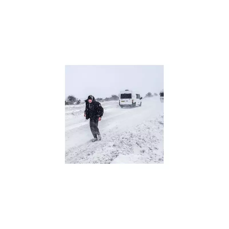
The most dramatic conditions are expected in Scotland, where the Met Office warns that snow showers will be "frequent and heavy". Accumulations of 15 to 30cm are possible above 200 metres, particularly in the northwest Highlands and Grampians, with a potential for up to 40cm in total. Even in low-lying areas, a further 2-5cm, and locally 10-15cm, of snow is possible.
Severe Impacts and Public Advice
The forecaster has highlighted significant risks associated with this weather event. Strong northerly winds on Saturday could lead to drifting snow and temporary blizzard conditions, with lightning also a hazard near showers.
With inland temperatures likely to remain below freezing throughout the weekend, any lying snow will not thaw, leading to persistent icy hazards on roads and pavements. This combination of factors is expected to cause severe travel disruption, potential power cuts, and risks to public safety.
The Met Office advice is clear: people should avoid travelling unless absolutely necessary in the warned areas, prepare for longer journey times, and check on vulnerable neighbours. As the nation heads back to work and school after the holidays, this winter wipeout is set to test the resilience of the UK's transport networks and infrastructure.