Whether you are planning a weekend hike, deciding what to wear, or preparing for severe storms, the weather forecast is essential. Many people instinctively check a smartphone app for an instant update. But how often does the app show something different from the sky outside?
Why Weather Apps Can Be Inaccurate
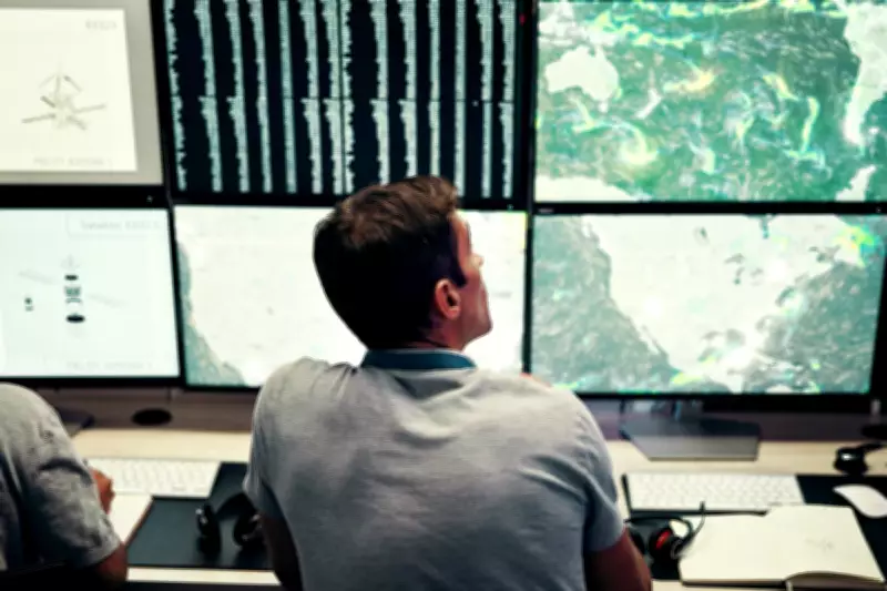
As a meteorologist who operates a weather station network in Wisconsin, I have heard complaints like “the weatherman is always wrong” many times. Before blaming forecasters, it helps to understand where app data comes from and why it might not match your local conditions.
Earth is vast, with a diameter of nearly 8,000 miles and 62 miles of atmosphere. Perfectly predicting every molecule is impossible. Instead, scientists use computer models that simulate weather on a large scale. These models ingest data from satellites, weather balloons, radar, and surface stations. Your weather app simply displays model output, not customised local forecasts.

All Weather Is Local
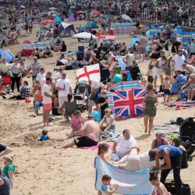
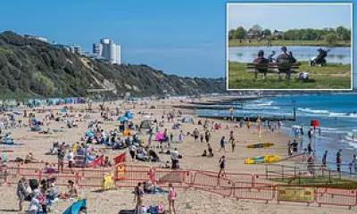
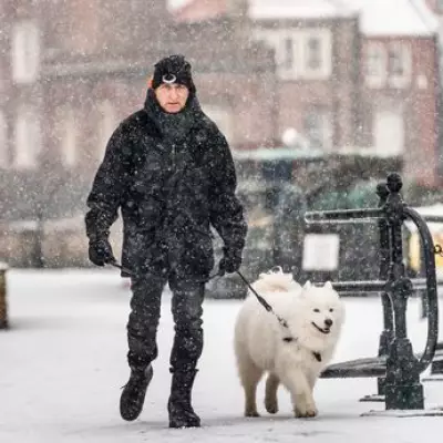
It can rain on one side of the street and not the other. Much of the weather data shared online comes from airport stations, but the nearest airport may be more than 20 miles away, especially in rural areas. The only way to truly know your yard’s weather is to measure it there, but not everyone wants a personal weather station.
Filling the Gaps with Mesonets
Many states and universities have established mesonets – local weather station networks that ensure everyone is within 20 miles of a station. There are nearly 3,000 mesonet stations across 38 states. These stations measure temperature, humidity, pressure, rainfall, and wind every five minutes. Some also measure soil moisture or provide camera images.
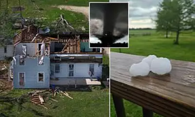
I lead Wisconet, a new mesonet with 78 stations across Wisconsin. On August 18, 2025, slow-moving thunderstorms dropped over 3 inches of rain in a few hours near a Wisconet station, helping the National Weather Service issue a flash flood warning. Mesonets also help farmers with irrigation and pesticide decisions and improve severe weather warnings for small areas.
A National Network of Networks
NOAA’s National Mesonet Program collects weather data from public, private, and academic sources, validates it, and shares it with the National Weather Service. Congress is considering expanding the program with $50 million to $70 million annually from 2026 to 2030 to add more stations and capabilities like real-time snowfall and air quality measurements.
So next time your app seems wrong, remember that all weather is local. Without a nearby mesonet station, the nearest measurements could be many miles away.