
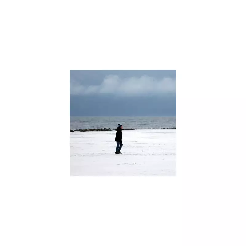
The Met Office has issued a fresh yellow weather warning for snow and ice, placing around 30 areas across the UK on alert for hazardous conditions and a heightened risk of injuries.
Warning Details and Affected Regions
The new alert, announced on Monday, 5 January 2026, is active from midnight tonight until 11am on Tuesday, 6 January. It spans a significant portion of northern Britain, covering the northwest and northeast of England, Yorkshire and the Humber, and large parts of Scotland including Strathclyde and the southwest and central regions.
Forecasters are predicting further bouts of wintry precipitation, which will lead to icy stretches on untreated surfaces. The primary concern highlighted by the Met Office is the danger to pedestrians, with a specific warning that "some injuries" could occur due to slips and falls on these treacherous surfaces.

Public Safety Advice and Travel Impact
Residents in the affected areas are urged to exercise extreme caution when travelling or walking outdoors during the warning period. The combination of fresh snow and subsequent ice significantly increases the risk of accidents on pavements, roads, and cycle paths.
While a yellow warning indicates the weather could cause some low-level impacts, it serves as a crucial alert for the public to prepare. Commuters should allow extra time for journeys and check for disruptions to road and rail services, which are likely in the worst-hit zones.
Context of the Cold Snap
This latest warning continues a period of challenging winter weather for northern England and Scotland. The Met Office's decision to issue the alert underscores the persistent nature of this cold snap, which is bringing repeated hazards to the same regions.
With the warning in place overnight and through the Tuesday morning rush hour, the advice is clear: take steps to stay safe, keep updated with the latest local forecasts, and be mindful of the increased risk on any untreated icy patches.


