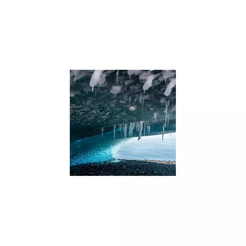
In a scientific breakthrough, researchers have unveiled the most detailed picture yet of the dramatic, hidden world that lies beneath Antarctica's vast ice sheets. This unprecedented map reveals a complex terrain of mountains, valleys, and ancient riverbeds, a landscape that has remained concealed for millions of years.
Unveiling a Continent We Knew Less About Than the Moon
Until now, scientists ironically had a better understanding of the Moon's surface than the subglacial geology of Earth's fifth-largest continent. The groundbreaking study, published in the prestigious journal Science on 16 January 2026, digitally strips away the colossal ice sheet to expose the bedrock below.
Co-authored by Professor Robert Bingham, a glaciologist at the University of Edinburgh, and researchers from the University of Grenoble-Alpes, the work involved painstaking analysis of high-resolution satellite data. The team detected minute variations in the ice surface that mirror the rugged terrain buried kilometres underneath.

"I'm just so excited to look at that and just see the whole bed of Antarctica at once. I think that's amazing," Professor Bingham told the BBC, expressing his awe at the achievement.
A Hidden World of Peaks and Valleys
The newly released maps show a stunning variation in elevation, with some areas lying far below sea level and others featuring major peaks. One of the most remarkable revelations is a landscape bearing a striking resemblance to the European Alps, complete with towering summits and deep valleys, all entombed beneath the ice.
The research provides intricate detail on specific landmarks such as the Hercules Dome and the Zhigalov Subglacial Highlands, offering scientists their first comprehensive view of the continent's geological skeleton.
A Crucial Tool for Predicting Future Sea-Level Rise
Beyond its sheer visual impact, this new map is a vital tool for climate science. Understanding the shape of the bedrock is critical for predicting how Antarctica's glaciers will behave as global temperatures continue to climb.
The detailed topography allows researchers to model how ice will flow and, crucially, to calculate more accurately just how much ice could melt from each glacier. This data is indispensable for improving global forecasts of sea-level rise, which threatens coastal communities worldwide.
By finally revealing the continent's hidden contours, this research marks a pivotal step forward in our ability to anticipate and prepare for the environmental challenges of a warming planet.