
UK Faces Extensive Flood Threat Following Persistent Rainfall
The United Kingdom is preparing for significant flooding next week as meteorological authorities issue hundreds of warnings and alerts following days of unrelenting rain. A total of 89 flood warnings, indicating expected flooding, and 223 flood alerts, signaling possible flooding, were active across England as of Sunday afternoon.
Regional Impact and Groundwater Concerns
Most warnings are concentrated in the south-west and Midlands regions of England, according to the Environment Agency. Scotland has also activated four flood warnings. The agency predicts ongoing groundwater flooding is probable over the next five days in Dorset, Wiltshire, Hampshire, and West Sussex, with river flooding expected across Somerset.
Local river flooding is likely along the River Severn for the next five days, and along the Rivers Trent and Soar until Tuesday. These conditions pose a direct threat to properties and are expected to cause substantial delays to travel services nationwide.

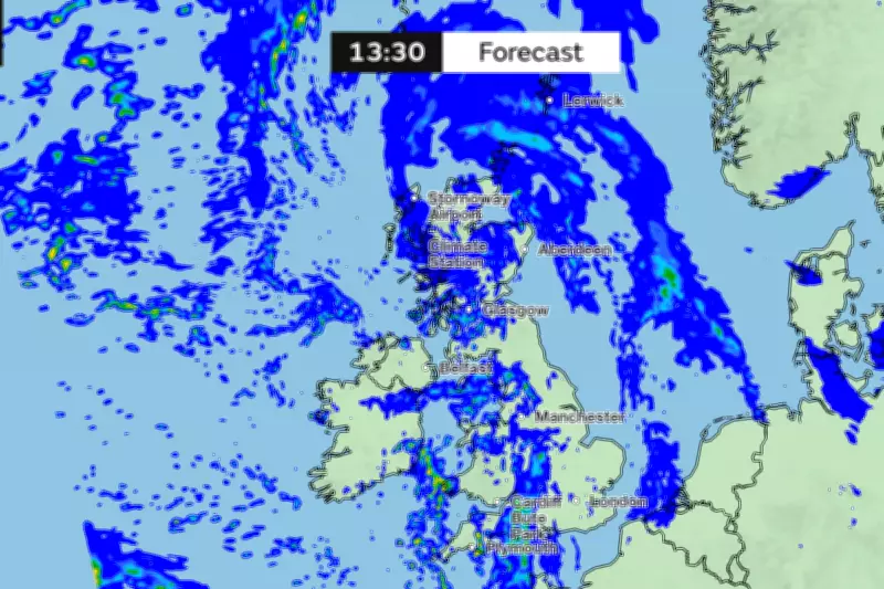
Met Office Issues Yellow Weather Warning
The Met Office has escalated concerns by issuing a yellow weather warning for rain on Monday, effective from 12 noon until 23:59. This alert covers extensive areas including parts of London, South East England, South West England, and Wales.
Forecasters warn that heavy rain during Monday afternoon and evening may lead to flooding and significant travel disruption. There is also some chance of interruptions to power supplies and other essential services. Meteorological experts state: "Bands of rain and heavy showers will move east across southern parts of England and Wales during Monday afternoon and evening. 10-15 mm of rain is likely fairly widely with 20-30 mm in some places exposed to the strong south to southeasterly winds."
Extended Flooding Timeline and Historical Context
Local inland flooding is likely for the South and West of England on Monday, with possible continuation into Tuesday. More broadly, local inland flooding remains possible from Sunday through Wednesday, according to Environment Agency assessments.
This weather event continues a remarkably wet start to 2026, with rain recorded somewhere in the UK network every day of the year so far—amounting to 36 consecutive days of precipitation. South-west England and South Wales have experienced particularly extreme conditions, receiving 50 percent more rainfall than usual, as reported by the Met Office last Thursday.
Met Office spokesperson Stephen Dixon contextualized the situation: "While amounts are trivial on some days, and some areas will have seen dry days, the UK has seen a wet start to the year, particularly in Northern Ireland and southern England. This has largely been down to a succession of fronts or low pressure systems arriving from the west, bringing heavy rain at times, as well as damaging winds for some."
Dixon added that there is "little sign of a let-up in the current forecast, with further unsettled weather in the coming days and over the weekend." This follows a January that saw three named storms strike the UK, bringing previous floods and travel disruptions.
The combination of saturated ground from continuous rainfall and new precipitation systems creates particularly hazardous conditions, with authorities urging residents in affected areas to remain vigilant and prepare for potential flooding impacts on homes and infrastructure.


