
Weather maps have revealed that vast areas of the United Kingdom are set to face significant snowfall on Thursday and Friday, with residents in 26 cities being placed directly in the firing line. The Met Office has issued urgent yellow weather warnings for snow and ice, covering tens of thousands of square miles, and cautioned that "snow will settle" in many regions, potentially causing widespread disruption.
Forecast Details and Affected Regions
According to detailed charts from WXCharts and forecaster Metdesk, snow is expected to begin falling in the west of Scotland on Thursday before sweeping southwards across the UK. By Friday morning, regions as far south as Watford could be blanketed, with accumulations varying significantly depending on elevation and location.
Expected Snowfall Accumulations
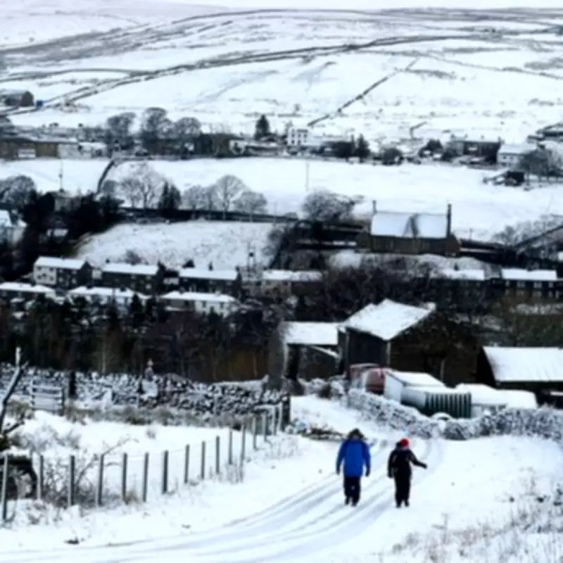
Southern areas are likely to see a light dusting of around 3cm, while higher ground will experience much deeper drifts. Specifically, parts of Wales could receive up to 7cm (2.7 inches) of snow, and the northern Pennines may be buried under 10cm (4 inches) by Friday afternoon. The Met Office warns that on hills above 300 metres, accumulations of 2 to 5cm are possible, with some locations potentially seeing as much as 10cm.

Met Office Warnings and Safety Advice
The Met Office has activated two yellow weather warnings. The first, covering northern England and the Scottish borders, comes into force at 7pm on Thursday. The second, for the rest of Scotland, begins at 4pm on Thursday and persists until noon on Friday. Both warnings highlight risks of snow and ice, with temperatures expected to drop rapidly, leading to hazardous conditions on untreated surfaces.
Residents are strongly advised to prepare for potential travel chaos. Roads and railways are likely to be affected, resulting in longer journey times for road, bus, and train services. The forecaster has urged people to keep emergency supplies in their vehicles, including warm clothing, food, water, a blanket, a torch, an ice scraper or de-icer, a warning triangle, a high-visibility vest, and an in-car phone charger.
Risks of Slips and Falls
There is a heightened risk of slips and falls on icy pavements, cycle paths, and untreated roads. The Met Office recommends staying up to date with local weather forecasts and amending travel plans if necessary. Travellers should allow extra time for journeys and check road conditions or public transport timetables before departing.
Context of Recent Weather Patterns
This snow event follows weeks of relentless rain across many UK areas, exacerbating concerns about flooding and ongoing weather-related issues. Notably, southwest England and southern Wales have experienced rain every day of 2026 so far, with January seeing 50% more rainfall than usual. Forecasters indicate that there is "no end in sight" to the downpours, with further flooding possible in parts of Wales and the South West.
Full List of Cities Forecast to See Snow
The 26 cities identified as being at risk of snowfall include:
- Slough
- Watford
- Luton
- Oxford
- Milton Keynes
- Norwich
- Cardiff
- Birmingham
- Coventry
- Northampton
- Peterborough
- Stoke-on-Trent
- Derby
- Nottingham
- Sheffield
- Manchester
- Leeds
- York
- Blackpool
- Middlesbrough
- Sunderland
- Newcastle
- Edinburgh
- Glasgow
- Dundee
- Aberdeen
As the UK braces for this wintry blast, authorities emphasise the importance of preparedness and caution to mitigate risks associated with the impending snow and ice.


