
The Met Office has issued a crucial update regarding widespread speculation about an impending 'Beast from the East' snowstorm threatening to engulf the United Kingdom. While some independent forecasting models have painted a dramatic picture of a nationwide blizzard, the national weather service has provided a more nuanced and geographically specific assessment.
Conflicting Forecasts Create Winter Weather Confusion
Recent projections from forecaster WX Charts indicated that a powerful high-pressure system developing over Scandinavia could funnel exceptionally cold air toward Britain around February 8th. This meteorological scenario, where frigid continental air clashes with moisture-laden Atlantic systems, bears similarities to the conditions that spawned the infamous 'Beast from the East' in 2018, which brought widespread disruption and heavy snowfall across the country.
According to these independent models, substantial snow accumulation was predicted to develop across southern England initially, before progressing as a broad band of heavy precipitation through the Midlands, Wales, northern England, and Scotland. Cities including Liverpool, Birmingham, Newcastle, and Edinburgh were identified as potentially lying directly in the storm's path as contrasting weather systems converged.

Met Office Provides Clarification on Snowfall Extent
However, the Met Office's official long-range forecast presents a markedly different outlook. Their analysis suggests that any significant wintry weather during the period from Friday, February 6th to Sunday, February 15th will be largely confined to northern England and Scotland, with snowfall predominantly expected over higher elevations.
The Met Office forecast explicitly states: "As these bands of rain spread northwards, some snow will be possible in northern England and Scotland, mainly over higher ground, as they encounter colder air." This more restrained prediction contrasts sharply with maps suggesting potential snow cover across every region of the UK, including projections of up to 54 centimetres (21 inches) of accumulation in the Scottish Highlands.
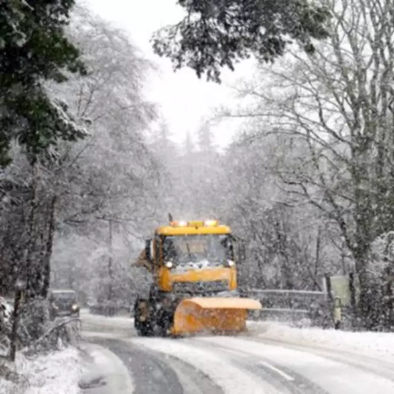
Immediate Weather Warnings and Current Conditions
While the nation awaits clarity on the potential 'Beast from the East' event, unsettled weather patterns are expected to persist throughout the current week and into the coming weekend. The Met Office has already implemented a yellow weather warning for snow across eastern Scotland and the central belt today, where strong winds may create hazardous blizzard conditions.
Conversely, in southwestern regions including Cornwall, Devon, and Dorset, authorities have warned residents of potential flooding and disruption. With up to 60 millimetres of rainfall anticipated on already saturated ground, the risk of further flooding problems remains elevated. Met Office meteorologist Alex Deakin emphasised this concern in his recent forecast, noting the particular vulnerability of these areas to additional precipitation.
Detailed Weather Outlook for the Coming Days
Tuesday's Forecast: Conditions are expected to remain predominantly cloudy with outbreaks of rain, most intense across southern and southwestern regions. Some snowfall is likely across central and eastern Scotland, while the northwest may experience brief brighter intervals.
Wednesday to Friday Outlook: Unsettled weather patterns will continue, with occasional bright spells interspersed with further periods of wet and windy conditions. Some snow remains possible, though this will mostly affect northern hills rather than lower-lying areas.
The Met Office maintains that through the remainder of the month, "some hill snow will be possible at times as the wet weather encounters colder air across northern parts of the UK," reinforcing their position that any significant winter weather will be regional rather than nationwide in its impact.


