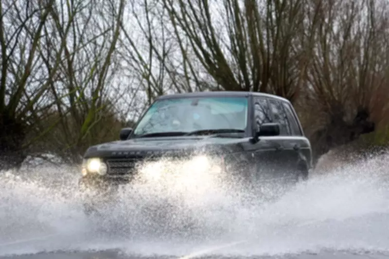
The south west of England and South Wales have experienced rainfall on every single day since the beginning of 2026, according to the latest updates from the Met Office. This persistent wet weather pattern shows no signs of abating, with forecasters predicting further showers and issuing significant weather warnings for the region.
A Soggy Start to the Year
Meteorological data reveals that January 2026 was substantially wetter than average across the south west region, recording approximately 50% more rainfall than typical for the month. This makes it the 12th wettest January on record for the area, highlighting an unusually intense period of precipitation.
Stephen Dixon, a Met Office spokesman, commented: "The south west of England and southern Wales has seen a very wet start to the year, with rain reported somewhere in the region every day of the year so far. While winter wetness isn't uncommon here, the succession of weather fronts from the west since mid-January has transformed what began as an average month into one significantly above normal rainfall levels."
Immediate Weather Warnings and Impacts
A yellow weather warning for rain has been activated from 5am until just before midnight on Thursday 5th February 2026. This alert covers an extensive area stretching from Chichester to Penzance, encompassing large portions of south east England alongside parts of the south west and South Wales.
The Met Office indicates that periods of rain and heavy showers are likely to cause surface water flooding in affected locations. Forecasters anticipate widespread rainfall totals of 10-20mm by day's end, with some isolated areas potentially receiving over 30mm. This raises concerns about possible flooding to homes and businesses, potential interruptions to power supplies, and difficult driving conditions across the region.
Broader National Weather Picture
The unsettled conditions extend beyond southern regions. A separate yellow rain warning covers part of Scotland from 6pm Wednesday until midday Thursday, where rain combined with melting snow may lead to travel disruption and flooding.
Across England, authorities had implemented 62 flood warnings and 145 flood alerts by Thursday morning, indicating widespread concern about potential inundation. Meteorologist Alex Deakin noted that low pressure systems moving from the south west would continue to bring "cloud and rain" while creating a "chill to most places" due to brisk easterly or south-easterly winds.
Deakin added: "With more rain tracking northwards hitting colder air, we will see additional snow Thursday and Friday over the hills of northern England and eastern Scotland. The next couple of days will bring further rain for most areas, with western Scotland remaining relatively sheltered and dry."
Temperature Variations and Seasonal Context
While the south coast may experience temperatures slightly above average on Thursday, many other regions will be one to three degrees below normal, with the added wind chill making conditions feel even colder. North Sea coasts are expected to be "especially chilly" according to forecasters.
This persistent rainfall pattern follows what the Met Office has described as a "much wetter" than average January, with the succession of weather fronts from the west since mid-month dramatically increasing precipitation totals beyond seasonal norms.


