Second Major Snowstorm Threatens Northeast US After Weekend Blizzard
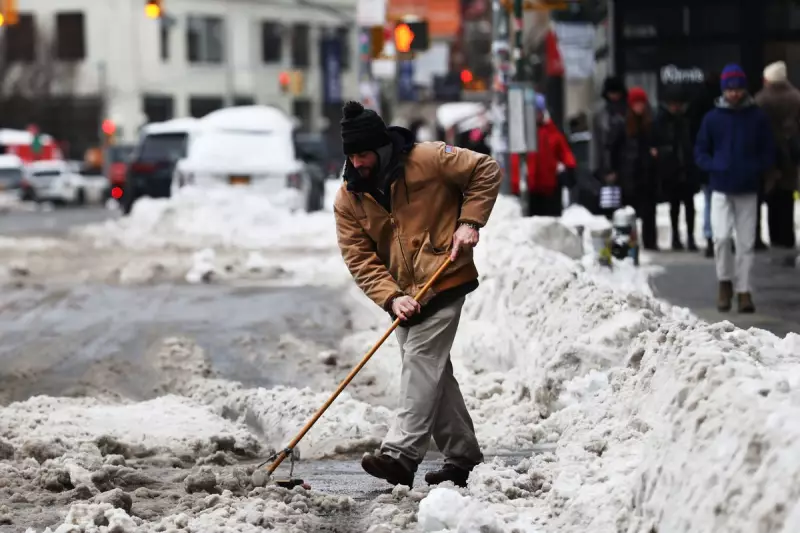
Just as communities across twenty states are digging out from the first major winter storm of the year, weather models are indicating a second significant snow event could be brewing for next weekend. The previous storm system, which concluded this past weekend, deposited over a foot of snow in numerous areas and left a staggering 710,000 people without power as of Monday, with recovery efforts hampered by persistent sub-freezing temperatures.
Potential Impact on Major Northeast Corridors
According to AccuWeather Meteorologist Chad Merrill, the snow risk for late this weekend into early next week extends from Central Tennessee through most of West Virginia, central western Pennsylvania, most of New York (excluding the Great Lakes region), and most of New England. This forecast places all major metropolitan areas along the Interstate-95 corridor in the Northeast—including Boston, New York, Philadelphia, and Washington, D.C.—under threat of additional accumulation. These cities already received between 10 and 20 inches of snow from the recent blizzard.
The development and precise track of this new system remain critical factors. Merrill explains that if the storm tracks closer to the Atlantic coast, it would likely bring strong winds and heavy snow to the mid-Atlantic and Northeast from late Saturday into early Monday. Conversely, a track further east would significantly reduce the risk of heavy snowfall. The areas impacted will depend entirely on this coastal proximity.
Storm Development and Southern Impacts
The system is expected to initiate precipitation along the Gulf Coast as early as Friday, with rain likely south of Interstate 10 from Louisiana to Florida. Depending on its strength, a mix of snow and rain could develop from I-10 northward across parts of Louisiana, Mississippi, Alabama, and Georgia—states that were already affected by snow and ice last weekend. For instance, the National Weather Service reported 12 inches of snow in Witts Springs, Arkansas, and over six inches in parts of Louisiana.
Merrill notes that specific populations, such as those from the central and eastern Gulf Coast, Jackson (Mississippi), Atlanta, and Charlotte, could see snow and rain from this event. "So those folks would definitely be impacted, but not the entire breadth of the population that was impacted by the last storm," he stated. However, regions like the Southern Plains, Arkansas, and western Louisiana, which were hit hard last weekend, will likely be spared if current model projections hold true.
Uncertainty and Compounding Challenges
Forecasters caution that it is still too early to determine whether this will evolve into another blockbuster storm. A clearer picture regarding timing and specific impact zones will emerge as the week progresses. There is a possibility the system could strengthen into a nor'easter, delivering heavy snow along the entire Eastern Seaboard. If it intensifies rapidly, it could track as far west as the Appalachians from North Carolina to Pennsylvania.
A subsequent wave of cold air is expected to follow the storm, offering no respite from the freezing conditions and ensuring that existing snowpack from the past weekend will not melt before any new accumulation arrives. This presents a serious logistical challenge for municipalities.
"This storm would complicate matters as well," Merrill highlighted. "Where do you put the snow if there is a big storm in Philadelphia or New York, which saw 11.4 inches? Where would you put additional snow for snow removal purposes? That would be a big question with the storm, if it does come to fruition." The situation underscores the severe and ongoing disruption facing millions of residents as the winter season intensifies.


