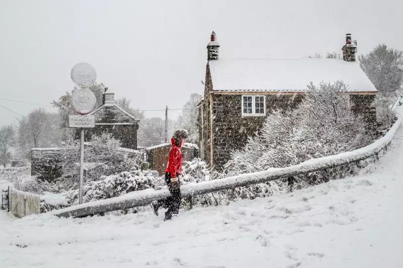
Britons hoping for a festive blanket of snow this Christmas are set for disappointment, according to the latest forecast from the Met Office. While a significant cold snap is on the way, bringing frosty and chilly conditions, meteorologists state there is little chance of widespread snowfall.
A Chilly End to a Mild December
The national weather service is predicting a sharp fall in temperatures from Wednesday, marking a stark change from the relatively mild conditions experienced so far in December. Temperatures are expected to drop to around 2°C in parts of the south west and Scotland as Christmas approaches.
This incoming cold spell follows a period of unsettled weather, with low pressure bringing bursts of rain across the country from Monday. However, these showers are forecast to clear later in the week, making way for drier conditions.

Met Office Experts Rule Out Widespread Snow
Despite the plunge in the mercury, the prospect of a picture-postcard white Christmas remains slim for the vast majority of the UK. Met Office Chief Meteorologist, Jason Kelly, provided a clear verdict: "While there will likely be some showers, more especially in eastern and southern areas, these perhaps wintry over higher ground, there are currently no strong signals for significant or widespread snowfall."
He explained that high pressure will build, leading to drier and colder weather over the festive period, but with an increased risk of overnight frost and fog where skies clear. Kelly advised the public to stay updated with the latest forecasts and warnings when making festive plans.
Where Could We See a Flurry?
The only slight possibility for any wintry precipitation appears to be confined to a very specific area. Met Office meteorologist Marco Petagna indicated that on Christmas Day, there is a small chance of seeing "one or two wintry flurries" developing along the south coast of England.
He tempered expectations, however, noting there is only a 10 per cent chance of anything significant. Petagna added that technically, only a single snowflake needs to fall anywhere in the UK for it to be classed as a 'white Christmas', so the far south will be one to watch.
Detailed Christmas Week Forecast
The transition to colder weather will be gradual but noticeable. Weather maps indicate mild conditions on Monday with temperatures around 10°C, dropping slightly to 8°C on Tuesday. A more dramatic change is expected on Christmas Eve, with forecasts predicting a sharp drop to around 5°C. Christmas Day itself is likely to see temperatures fall further to approximately 3°C, making it a notably colder festive day than recent years.
The daily breakdown from the Met Office is as follows:
Monday: Outbreaks of rain in Scotland and Northern Ireland, easing later. Low cloud lifting elsewhere for a brighter afternoon, though windy in the west and southwest.
Tuesday: A mostly cloudy day nationwide. Early rain in the south west and patchy light rain in northern Scotland. Easterly winds will increase, making it feel colder.
Wednesday (Christmas Eve) to Friday: High pressure brings drier, more settled, but colder weather with chilly easterly winds. Some light rain or wintry flurries are possible at times in southern areas.
In summary, the UK is set for a dry, crisp, and frosty Christmas, with people advised to wrap up warm. While the festive period will feel seasonally chilly, the iconic sight of widespread snow settling across the country is, for now, only a dream for next year.