
US Weather: Warming Trend for Midwest, Snow Threat Looms for Northeast
After a prolonged period of frigid conditions, parts of the United States are experiencing a welcome thaw, though millions remain under the threat of further winter weather disruptions. A significant warming trend is currently sweeping across the Midwest, offering respite from the deep freeze. However, meteorological uncertainty hangs over the Northeast, where a storm system developing off the West Coast could deliver another round of snow, ice, or rain by the upcoming weekend.
Midwest Enjoys Unseasonable Warmth as Cold Lingers East
Tom Kines, a senior meteorologist at AccuWeather, confirmed the shift, stating, "The middle part of the country is going to be warming. They’ll see temperatures warmer than they should be at this time of year through at least Friday." This warming is providing much-needed relief after two major winter storms recently blanketed vast regions with snow and ice. In contrast, the eastern United States has not been as fortunate. The extreme cold has persisted there, with temperatures expected to remain at or below seasonal norms through the end of the week, preventing any significant melt of existing snowpack.
California Storm Holds Key to Northeast Weekend Forecast
The primary focus for forecasters is a storm system poised to move into Northern California in the coming days. This system is predicted to end California's recent "snow drought" by delivering the state's most substantial precipitation in months. After lingering for a day or two, the storm is expected to traverse the Rocky Mountains. Its subsequent trajectory, however, remains highly uncertain and will dictate weather outcomes for the eastern seaboard.

"As far as snow is concerned in the East, there’s only the potential later in the weekend or very early next week," Kines explained. "This would be from a storm that hasn’t moved to shore on the West Coast yet. It’s got a lot of ways to go. There’s still a lot of question marks with it."
Dual Scenarios: A Dry Northeast or More Winter Misery
Meteorologists outline two potential tracks for the storm as it moves eastward. One scenario would see the system track southward, potentially keeping major Northeast cities like New York, Philadelphia, and Boston relatively dry while bringing widespread rain and thunderstorms to the Southeast, possibly impacting Valentine's Day plans there.
The alternative, more concerning scenario involves the storm tracking directly toward the Northeast. "From there, if it starts to track more toward the Northeast, there could be some snow or ice or even rain for parts of the Northeast," Kines noted. This path could dump additional snow and ice on regions already burdened by winter accumulations. Forecasters indicate they will not have a clearer picture of the storm's likely path until later in the week.
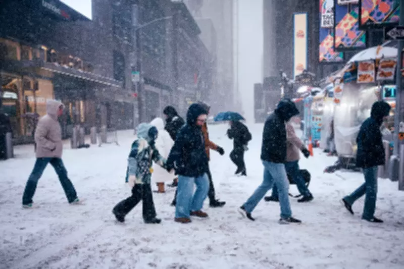
Immediate Snowfall and Ongoing Winter Challenges
In the immediate term, areas from Upstate New York through New England are bracing for light snowfall, with one to three inches possible starting Tuesday afternoon. Higher elevation zones in Vermont, New Hampshire, and Maine could see significantly more, with accumulations potentially reaching up to eight inches.
The nation continues to grapple with the aftermath of severe winter weather. The persistent below-freezing temperatures, particularly in the Northeast, have solidified snow and ice, creating ongoing travel hazards and infrastructure challenges. As the Midwest enjoys a temporary warm-up, residents in the East are advised to stay alert to evolving forecasts, with the weekend holding the possibility of either a reprieve or a renewed bout of winter precipitation.


