
Britain is bracing for a significant wintry start to the New Year as fresh forecast data indicates a major Arctic blast is set to sweep across the nation. Weather maps from WXCHARTS.COM reveal a potential snow event spanning approximately 600 miles, from the south coast of England to the far north of Scotland.
Widespread Snowfall Predicted for January 5
The most concentrated period of snowfall is currently projected for Monday, January 5. Forecast models suggest a blanket of snow could cover large swathes of England, Wales, and Scotland on this date. Some isolated regions, particularly in Scotland, could see accumulations of up to 13 centimetres.
Meteorological data indicates that the snowy conditions may begin to develop from New Year's Day in northern England and Scotland. However, by January 5, the snow cover is expected to extend from Folkestone in Kent all the way north to Dunbeath in Caithness.

Regional Variations and Major Cities Affected
Not all areas will experience the same conditions. The weather maps suggest that parts of northwest England, the Midlands, southern and southwestern England, and some areas of Scotland are likely to miss the worst of the snowfall.
In England, snow depth south of Newcastle is forecast to vary between 1cm and 6cm. Wales may see around 1cm of snow cover. The most significant accumulations are predicted for Scotland, where depths could range from 1cm to the maximum of 13cm, especially where the southeastern Highlands meet Aberdeenshire and Perth and Kinross. Northern Ireland is not currently expected to see any snow from this system.
A number of major English cities are in line for potential snowfall at midnight on January 5. These include:
- London
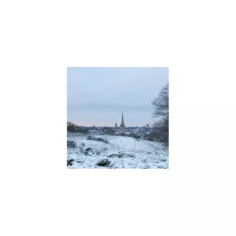
- Reading, Ipswich, Norwich, and Cambridge
- Peterborough, Northampton, and Leicester
- Derby, Nottingham, and Sheffield
- Doncaster, Leeds, York, and Hull
- Middlesbrough, Durham, and Newcastle
In Scotland, Glasgow, Stirling, Inverness, and Perth are likely to see snow, while Aberdeen and Dundee on the east coast may escape ground-level accumulations. The heaviest snow is expected over the Cairngorms National Park and nearby mountainous terrain.
For Wales, snow cover is forecast for northern and central regions, but populous areas like Newport, Cardiff, Swansea, and Wrexham are predicted to remain clear.
Official Outlook and Weather Warnings
The Met Office's extended outlook for the period covering Monday, December 29 to Wednesday, January 7 suggests high pressure will dominate initially, bringing settled conditions. However, they note a shift is likely towards the first weekend of January.
"This will bring an increased risk of some rain or showers at times which, with cold air close to the UK, may bring some wintry hazards to some places," the Met Office states. They add that temperatures will probably be near or slightly below average for the period overall.
Forecasters consistently warn that detailed snow predictions can change rapidly. The public is advised to consult the latest forecasts from the Met Office and other official sources as the date approaches for the most accurate and timely information regarding this potential Arctic blast and its impacts.


