
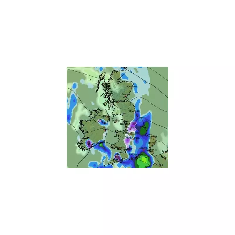
Millions of Britons are set to face a significant winter weather event before the year ends, with advanced forecasting maps predicting heavy snow and potential blizzard conditions across the country. Up to 10 centimetres (four inches) of snow could accumulate in some regions, disrupting travel and daily life in the final days of 2025.
Timeline of a Winter Blast
According to detailed modelling from WXCharts, the disruptive weather system will begin its sweep across the UK in the morning of Tuesday, December 30. The first flurries are expected to appear around 9am, initially affecting the north-west of England, including Manchester and Merseyside, as well as areas along the England-Wales border. Devon and Cornwall may also see early snowfall.
By midday, the snow is forecast to consolidate over key areas. The Peak District, Yorkshire Dales, Lake District, and the England-Wales border will likely see persistent snow, with flurries beginning to reach southern parts of Scotland.

Intensifying Conditions Through the Day
The situation is expected to worsen throughout the afternoon. Maps for 3pm indicate heavier and more widespread snowfall. Intense flurries are predicted for Devon, parts of Wales, Oxfordshire, the Midlands, and the north-west of England. While less severe in Scotland at this time, cities like Edinburgh could still experience impacts.
A significant shift will occur by the evening. By 9pm, serious snow is forecast to hit Scotland, with the most intense activity centred on Stirling, Perth, and Kinross. Significant accumulations are expected across both the Highlands and Lowlands, while lighter flurries may continue in North Wales and north-west England.
Widespread Coverage and Accumulations
Snow coverage maps for the morning of Wednesday, December 31 reveal the extensive footprint of this weather event. They indicate snow on the ground across almost all of Wales, parts of Northern Ireland, the majority of Scotland, and a vast swathe of England from Plymouth to the far north.
The data suggests stark regional differences in accumulation:
- The Scottish Highlands could see up to 10cm (four inches).
- Parts of Wales may receive up to 4cm.
- The Pennines in northern England could see around 2cm.
Official Outlook from the Met Office
The Met Office's broader forecast for the period from December 24 to January 2 aligns with the potential for wintry conditions. They predict a gradual transition to more settled weather as high pressure builds to the north, but this will usher in colder air.
Their forecast states: "This will bring a strengthening easterly wind over the Christmas period, making it feel noticeably colder than of late. Whilst there will be a fair amount of dry weather, a few showers will still be possible, particularly across eastern and southern parts which may be wintry in places, more especially over high ground."
For the run-up to the New Year, the Met Office expects high pressure to dominate, maintaining largely settled but cold conditions with an increasing chance of showers later. Temperatures are forecast to be below average for much of the time, with frosts likely where skies clear and winds are light.


