
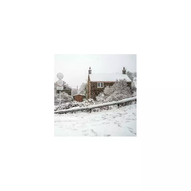
The United Kingdom is on high alert as the Met Office warns of a severe Arctic blast set to blanket much of the country in heavy snow and plunge temperatures to a bitter -4C. A significant weather event is expected from New Year's Day, bringing potential travel chaos and hazardous conditions.
Severe Warnings and Snowfall Predictions
The national weather service has issued a formal yellow warning for snow and ice, active from Thursday through Friday. Forecasters predict that a "gale force northerly wind" will drive in the freezing conditions, leading to substantial snow accumulations and significant drifting.
Snowfall is expected to be widespread, with up to 11 inches (30 cm) likely on the highest routes and hills, particularly in Scotland. Lower levels could still see 2 to 5 cm, with localised patches reaching 10 cm by Friday morning. The Met Office stresses that above 200 metres, accumulations of 10-20 cm are probable.

Timeline and Geographic Impact
The cold snap will intensify from New Year's Day evening, with the powerful northerly wind establishing itself. Gusts could reach 60mph along North Sea coastlines, especially around Humberside, creating treacherous driving conditions.
While Scotland, the Scottish Highlands, and Aberdeenshire will bear the initial brunt, the snow is forecast to push far south. By Saturday, flurries could reach Kent and London, with the heaviest snow in England anticipated across the East Midlands, including Lincolnshire and Leicestershire, on Saturday evening. The system will then track eastwards, potentially dusting Norfolk by Sunday morning.
Travel Disruption and Safety Advice
The timing of this severe weather poses a major risk to travel networks. Disruption is expected across Scotland and potentially nationwide, coinciding with busy post-New Year travel at airports and train stations. Hogmanay celebrations in Scotland may also be affected.
The Met Office has issued clear guidance for the public to stay safe:
- Plan your route, checking for delays and road closures before travelling.
- If driving, allow extra time, prepare your car, and pack essentials including warm clothing, food, water, a torch, and an ice scraper.
- Prepare at home for potential power cuts by gathering torches, batteries, and mobile phone power packs.
Forecasters warn that the wintry spell could last through the early part of the new period, with subtle shifts in wind direction changing which areas see the heaviest snow showers. Further weather warnings may be issued in the coming days, particularly for Saturday.


