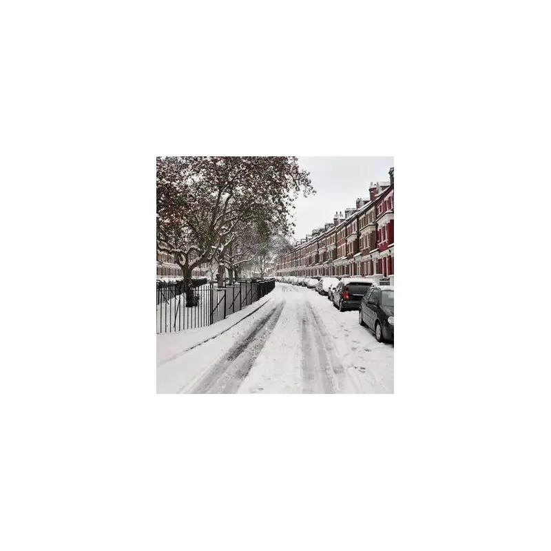
The United Kingdom is preparing for a severe and widespread winter onslaught, with new weather data predicting a major snow blizzard will blanket virtually the entire country on January 7, 2025.
Nationwide Freeze as Temperatures Plummet to -12C
According to the latest WXCharts maps generated on December 29, a deep freeze is set to grip the nation. The most extreme conditions are forecast for Scotland, where temperatures could plunge to a bone-chilling -12°C in central and eastern regions around midnight on January 7. For England and Wales, overnight lows are expected to range between -2°C and -5°C.
The snow event is predicted to begin in the early hours, sweeping in from the west. Initial rain or sleet in western areas will rapidly turn to snow as an icy air mass takes hold. The ECMWF weather model suggests this could become one of the most extensive snow events of the winter so far.
Snow Depth Predictions: From a Dusting to Drifts
Snow depth forecasts paint a dramatic picture for January 7. By 6pm that day, northern Scotland is expected to bear the brunt, with accumulations of 20cm to 30cm widely, and some parts of the Highlands seeing even more. The area just north of Newcastle could receive around 24cm.
Further south, northern England and the Midlands are bracing for 5cm to 15cm of snow. Even southern counties, including London, Kent, and Cornwall, are not expected to escape, with at least a light dusting forecast. Ireland will also be caught in the icy grip, with snow covering most regions, particularly inland and on higher ground.
Met Office Long-Range Forecast and Warnings
The Met Office’s own long-range forecast for the period covering January 2 to January 11 aligns with the prospect of a significant cold snap. It states that cold northerly winds will become dominant across the whole UK in the first week of January, bringing wintry showers, often of snow, to many exposed coastlines and inland areas.
The forecast adds: "There are likely to be some more coherent bands of rain, sleet and snow working south, and these may bring a risk of more prolonged wintry precipitation affecting some inland areas." It suggests slightly milder conditions may attempt to move in from the west towards the second half of the period.
However, the Met Office also issues a standard caution regarding longer-range predictions, noting the "chaotic nature of the atmosphere" means small events over the Atlantic can still significantly alter the forecast in the days ahead.
Residents across the UK are advised to monitor the latest weather warnings and prepare for potentially disruptive travel conditions and extreme cold as the January 7 date approaches.


