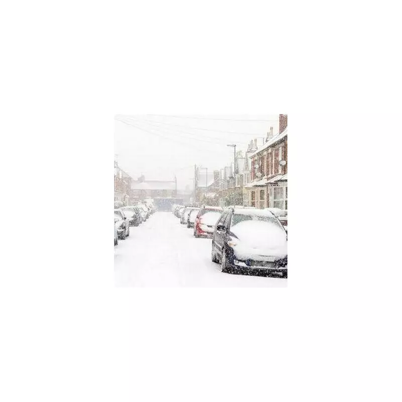
The United Kingdom is preparing for a bitterly cold and disruptive start to 2026, with new meteorological data indicating significant snowfall could blanket the nation from the early hours of Monday, January 5. Weather maps from WXCharts suggest a widespread wintry outbreak, with accumulations of up to 2 inches predicted for several major urban centres.
Widespread Snowfall Predicted for Key Regions
According to the latest modelling, the snowfall is expected to commence from around 6am on Monday, January 5. The charts highlight a risk of heavy snow for east London and surrounding areas, extending to Reading, Birmingham, and Newcastle. Further accumulations are anticipated in Cheltenham, Stoke-on-Trent, and extensive parts of eastern Wales, including regions near Swansea.
The cold snap will be far-reaching. Scotland is braced for snow covering Aberdeen and the Highlands, while the chilly conditions may push as far south as Cornwall. Northern Ireland, including Belfast, is also in line for snowfall during the early morning of January 5. The maps indicate the potential for snow to persist throughout the day, potentially affecting areas like Liverpool, Cornwall, and northern Scotland until as late as 9pm.
The Return of the 'Troll from Trondheim'
This impending freeze has been linked by some forecasters to the return of a notorious weather pattern. Jim Dale, a senior meteorologist at British Weather Services, has stated that the infamous 'Troll from Trondheim' – which caused major disruption in 2022 – is forecast to impact the UK. The phenomenon is driven by a dislocation of the polar vortex, which has already triggered a major snowstorm over Scandinavia.
Mr Dale warned that more snow could follow throughout the week, mirroring the 2022 event which deposited up to 5 inches of snow across parts of the country. However, official forecasts offer a more detailed perspective.
Met Office Forecast and Active Warnings
The Met Office's long-range forecast for January 5 to 14 describes a period dominated by cold northerly winds, bringing wintry showers, often of snow, to exposed coastlines and inland areas. It notes a risk of further snow on the leading edge of bands of precipitation moving in from the west later in the period, with low confidence in how quickly milder Atlantic air will return.
In the immediate term, the Met Office has issued yellow weather warnings for snow and ice across large parts of England and Wales from midnight until noon on Friday, January 2. Further warnings are active for Northern Ireland and northern Scotland. The agency warns that snow accumulation could reach 2 inches on lower ground, 4-8 inches in northern areas, and up to 12 inches on the highest routes.
The warnings impact numerous regions, including Chester, Greater Manchester, London, Kent, the East Midlands, southeast and southwest England, Wales, and the West Midlands. This serves as a stark reminder of the UK's winter potential, recalling the record-breaking cold of -22.3°C recorded in Altnaharra, Scotland, on January 8, 2010.


