
Britain could be in for a festive dusting of snow this Christmas, with advanced meteorological models indicating a potential White Christmas for several regions. The latest data suggests a cold snap reminiscent of the infamous 'Beast from the East' could deliver wintry showers, with parts of the south-east, including London, potentially seeing flurries on December 25th.
Christmas Day Snow Maps Paint a Wintry Picture
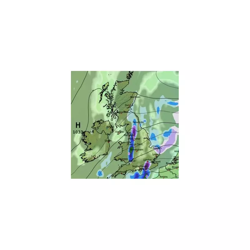
According to the GFS weather model, snow is forecast to push into the UK from the east during Christmas evening. Initial projections indicate that East Anglia, the Pennines, and potentially parts of the south-east could be the first to experience snowfall. Remarkably, areas as far south as Sussex are shown to be in the potential firing line, raising the prospect of a rare white Christmas for southern counties.
The wintry conditions are expected to persist into Boxing Day. Weather maps for 6am on December 26th show snow falling along the east coast of England, across the Midlands, and over high ground including the Peak District and Pennines. Gloucestershire is also highlighted as a region likely to see snowfall at this time.

Boxing Day Blast: Widespread Snow Coverage Expected
By midday on Boxing Day, sporadic snow flurries are predicted to stretch from Bristol in the west to Lincolnshire in the east. However, the true scale of the potential snow event becomes clearer on coverage maps for the morning of the 26th. These reveal a significant accumulation of settled snow across a large portion of Wales, alongside parts of Sussex and Kent.
Further inland, the East Midlands, West Midlands, Gloucestershire, Oxfordshire, and Bedfordshire might all wake up to a white blanket. The Peak District and Pennines remain under threat in the north. Notably, the maps suggest Northern Ireland will miss out entirely, while Scotland may only see sparse coverage over its highest hills.
Forecaster Caution Amidst the Snow Hype
Despite the dramatic modelling, the UK's official weather service has urged caution. The Met Office's forecast for the period from December 21st to 30th indicates that while temperatures may fall closer to the seasonal average, any particularly cold conditions look unlikely at this stage. They predict a shift towards an easterly airflow, with rain becoming confined to southern and southwestern areas before high pressure brings drier, more settled weather. This could lead to more widespread overnight frost and fog.
Echoing this tempered outlook, BBC Weather forecasters have stated that the chance of a widespread White Christmas remains low. Their forecast suggests any snow showers should be confined to higher elevations, meaning a white Christmas is unlikely for most of the population. They do, however, note that easterly winds will gradually lower temperatures, and by the week's end, a shift in pressure could introduce colder north-easterly flows.
While the advanced models provide an intriguing possibility of a classic white festive period, both major forecasting bodies emphasise that significant cold is not yet a certainty. Britons dreaming of a snowy Christmas will be watching the updates closely as the big day approaches.


