
Holiday travellers across California are being implored to reconsider their journeys and avoid the roads on Christmas Eve and Christmas Day as a potent series of winter storms batters the state with relentless rain, fierce winds, and heavy mountain snow.
Widespread Warnings and Hazardous Conditions
The severe weather, which began moving in late on Tuesday 23 December, is expected to intensify through Christmas Eve. The National Weather Service (NWS) has warned that millions of people planning to travel will likely face hazardous, if not impossible, conditions. This is due to several atmospheric rivers—long, narrow bands of moisture-laden air—forecast to sweep across the region.
"If you’re planning to be on the roads for the Christmas holidays, please reconsider your plans," urged Ariel Cohen, an NWS meteorologist in Los Angeles, during a Tuesday news conference.

Forecasters predict Southern California could experience its wettest Christmas in years, raising significant concerns over flash flooding, mudslides, and debris flows, particularly in areas scarred by wildfires last January. In Los Angeles County, officials have been door-knocking at approximately 380 vulnerable households to issue evacuation orders.
Statewide Impacts and Emergency Measures
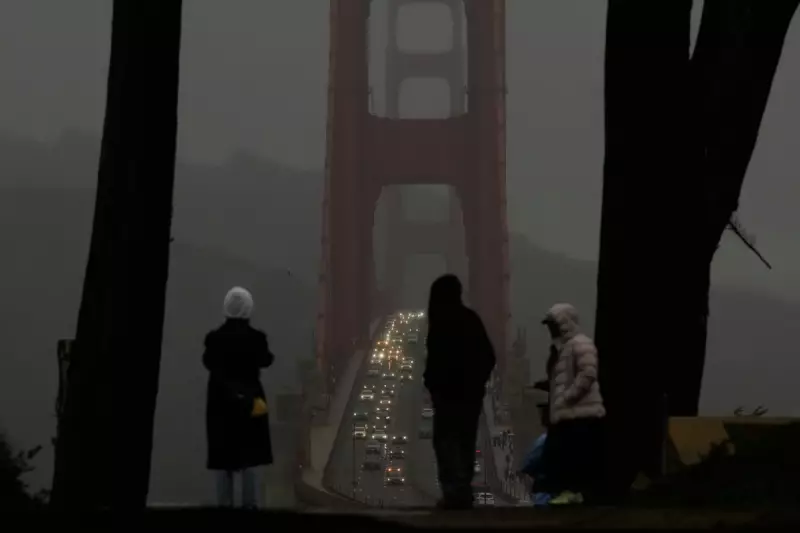
The storm's reach is extensive. Much of the Sacramento Valley and the San Francisco Bay Area are under a flood watch and high wind warning through Friday. In the Sierra Nevada, heavy snow and powerful gusts are expected to create "near white-out conditions" on Wednesday, making mountain passes "nearly impossible" to traverse. The northern coast also faces a risk of severe thunderstorms and a slight chance of tornadoes.
The danger is already manifesting. In Northern California, heavy rain and flash flooding have necessitated water rescues and are linked to at least one fatality. In response, Shasta County Sheriff Michael L. Johnson declared a state of emergency on Monday to prepare for further rainfall and enable state assistance with hazard mitigation and search and rescue operations.
Unprecedented Rainfall and Travel Disruption
The scale of the deluge is exceptional. While Southern California typically receives just half an inch to 1 inch (1.3 to 2.5cm) of rain in late December, many areas could see between 4 and 8 inches (10 to 20cm) this week, according to NWS meteorologist Mike Wofford. Mountainous regions may receive even more. Wind gusts could reach 60 to 80 mph (96.5 to 127.8 kph) along parts of the central coast.
Authorities anticipate widespread travel chaos, including multiple road closures and significant airport delays. The potential for downed trees and power lines adds to the risk. Kathryn Barger, a Los Angeles County supervisor, noted that K-rail barriers have been installed around burn scars and free sandbags are available for residents to protect properties.
Despite the clear warnings, Los Angeles Police Department Chief Jim McDonnell stated that many in evacuation zones have chosen to stay. He strongly urged them to rethink, emphasising that "The threat posed by this storm is real and imminent." State and local emergency services, including the California National Guard, are on standby and have pre-deployed resources to coastal and Southern California counties to respond to incidents throughout the week.


