Britain is on alert for a major winter onslaught as new weather maps predict a powerful Arctic blizzard could dump up to eight inches of snow on parts of the country within days. Major cities including London, Birmingham, and Manchester are in the firing line for significant snowfall, according to the latest data.
Snow Timeline: From Scotland to the South
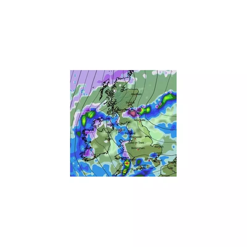
The GFS weather model indicates the first flurries will arrive in northern and western Scotland on January 7. The system is then forecast to push southwards, bringing wintry hazards to England, Wales, and Northern Ireland.
By 6pm on January 8, maps show snow impacting large areas of Wales and Belfast. Light snow may also begin to dust north-east England as the blizzards move down from Scotland. The situation intensifies by midnight, with snow expected to fall across southern England, including Bristol, as well as Yorkshire, the Midlands, parts of Wales, and north-east Scotland.

Major Cities in the Firing Line
The morning of January 9 could see the capital facing disruption, with maps indicating snow sweeping across southern England. Simultaneously, the north-east is bracing for intense flurries around 9am.
The evening brings further heavy snow to northern England, with Manchester likely to be affected around 6pm. North Wales is also forecast for heavy snowfall at this time. Coverage maps for 9pm on January 9 reveal a stark picture, with snow expected on the ground in a long list of urban centres: London, Southampton, Bristol, Cardiff, Birmingham, Manchester, Liverpool, Belfast, Leeds, Newcastle, and Edinburgh.
Expected Snow Depths and Official Outlook
The data suggests the highest accumulations will be over elevated terrain. The Cairngorms National Park could see a staggering 20cm (roughly eight inches) of snow settle. Northern parts of England may receive up to 7cm, while Wales could see around 4cm.
The Met Office's forecast for the period January 1 to January 10 supports the potential for wintry conditions. It states a cold, showery northerly flow is likely to develop, bringing hazards including snow to low levels, particularly to north-facing coastal areas. The forecaster notes temperatures will likely be below average for much of the period, though may turn milder later.