Entertainment
Influencer Lorna Luxe Shares Unseen Video of Late Husband John Andrews
Influencer Lorna Luxe has posted a bittersweet unseen video of her late husband John Andrews, who died from stage four adrenal cancer in February. She expressed gratitude for having hours of footage of him.
Politics
Trump Confirms King's US State Visit, Commemorates 250th Anniversary
President Donald Trump announces a historic state visit by the King and Queen to the US in late April, praising the King and marking the 250th anniversary of America.
Sports
Tottenham Agree Deal for Roberto De Zerbi as New Head Coach Amid Controversy
Tottenham Hotspur has reached an agreement in principle with Roberto De Zerbi to become their permanent head coach, following Igor Tudor's dismissal after a poor seven-game stint. De Zerbi faces the challenge of saving Spurs from relegation, but his appoi
Crime
Texas Judge Sparks Outrage After Viral Video Shows Him Berating IT Worker
Harris County Judge Nathan Milliron faces widespread condemnation after footage captures him harshly scolding an IT specialist who fixed his computer audio in court.
Business
Health
Weather
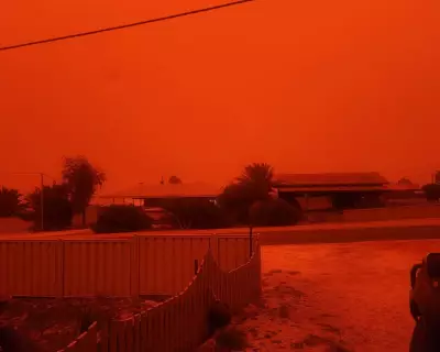
Australian Skies Turn Blood Red: Cyclone Dust Phenomenon
Severe Tropical Cyclone Narelle caused apocalyptic red skies in Western Australia by whipping up iron-rich dust from arid soils, a rare event due to specific environmental conditions.
Apocalyptic Red Skies Over Australia Explained
Severe Tropical Cyclone Narelle created blood-red skies in Western Australia through a rare combination of dry conditions, iron-rich soils, and specific wind patterns.
Pink Moon Peaks This Week: UK Viewing and NASA Link
April's Pink Moon reaches peak illumination in the UK early Thursday, with visibility across much of the country despite cloud cover in some regions. The celestial event coincides with NASA's Artemis II mission launch.
Cyclone Narelle's Red Dust Storm Turns WA Sky Blood Red
A dust storm triggered by Tropical Cyclone Narelle turned the sky blood red in Denham, Western Australia, due to iron-rich soils and strong winds, as captured in viral footage.
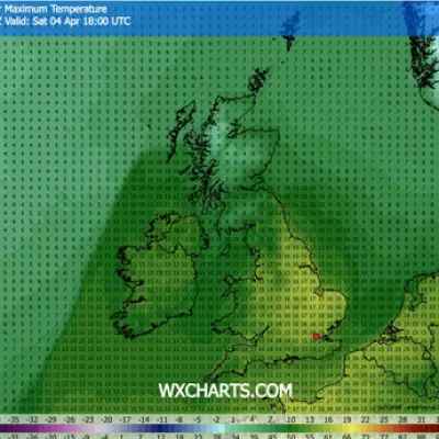
Easter Bank Holiday Heatwave: UK Maps Show 17C Scorcher
New weather maps reveal a surprising Easter bank holiday heatwave, with four UK regions set to bake in 17C warmth on Saturday, breaking a recent cold snap.
Tech
Get Updates
Subscribe to our newsletter to receive the latest updates in your inbox!
We hate spammers and never send spam
Environment
Monday Sports Challenge: Football, Cricket & Rugby Questions
Start your week with our Monday sports quiz featuring 100 questions about British football, cricket, and rugby. How well do you know these popular UK sports?


