
Storm Chandra is poised to unleash a powerful mix of strong winds, heavy rainfall and significant snowfall across large swathes of the United Kingdom, as a series of new weather warnings come into effect from Tuesday. Forecasters are warning that flooding and severe travel disruption are likely in several regions, with the potential for impactful conditions to persist.
Severe Warnings Issued Across Multiple Regions
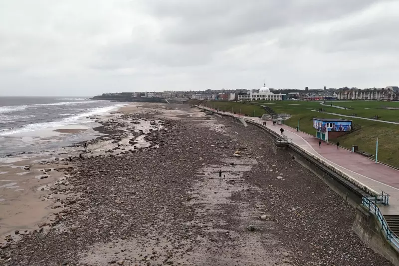
The Met Office has activated several amber and yellow weather warnings, highlighting the serious nature of the incoming storm system. An amber warning for wind is currently in place for the eastern coast of Northern Ireland, valid from 5am to 9pm on Tuesday. Meteorologists note that easterly gusts reaching 60-70 mph, with the possibility of 75 mph in exposed coastal locations, are unusual and likely to cause significant disruption.
Amber Rain Warning for South West England
Meanwhile, an amber warning for rain covers south Devon, much of Dorset, southern Somerset and south-east Cornwall from 5pm Monday until 9am Tuesday. Forecasters anticipate widespread rainfall totals of 30-50mm, with higher ground on south Dartmoor potentially seeing 60-80mm. This comes after Storm Ingrid recently caused damage in the region, washing away part of a historic pier and leaving ground saturated and vulnerable.

Extensive Yellow Warnings for Wind, Rain and Snow
Less severe, but still disruptive, yellow warnings cover a much more extensive area. A yellow wind warning affects Cornwall, southwestern Wales and parts of northern Devon from 5am to 4pm Tuesday, with another for southwestern Scotland from 5am to midnight.
Yellow warnings for a combination of rain and snow have been issued for the Pennines and southwest Scotland from midnight to 5pm Tuesday. Here, 2-5cm of snow could fall widely, with accumulations of 10-20cm possible over higher elevations. A further yellow warning for rain and snow is active across much of central Scotland from 6am to midnight.
Additional yellow rain warnings are in force for much of southeast England from midnight until midday Tuesday, and for south west England and south and central Wales from 1pm Monday to 10am Tuesday.
Expert Forecast and Hazards
Met Office chief forecaster Paul Gundersen explained the complex hazards: "Initially, strong winds will impact the Isles of Scilly, western Cornwall and south-west Wales which are still vulnerable after Storm Goretti, gusts of 70 to 80mph are possible here." He added, "Heavy rain is an additional hazard as it falls on saturated ground in Dorset and southern parts of Devon, Somerset and Cornwall. As Chandra interacts with colder air further north snow becomes a hazard, with 10-20cm of snow possibly accumulating over higher ground in the Pennines, southern Scotland and the Highlands."
Gundersen urged the public: "With a complex spell of weather, its important people stay up to date with the forecast and any warnings in your area."
Travel and Safety Advice Issued
With hazardous conditions expected, travel organisations are advising extreme caution. Nick Mullender, RAC mobile servicing and repairs team leader, issued a stark warning to drivers: "Flooding is highly likely, making many roads dangerous. Our message to drivers is simple: do not drive through standing water unless you are completely certain the water is shallow enough and it’s safe to do so."
He emphasised the need for careful driving: "In these conditions, drivers need to slow down and stay alert. Wet roads can double stopping distances, so taking a cautious, steady approach and allowing extra time to react is essential. And if your vehicle already has known faults, now is not the time to take risks. Avoid unnecessary journeys and get issues fixed promptly by a trusted mobile mechanic or local garage."
Storm Chandra is the latest named storm from the western Europe storm naming group, a list shared between the UK, Ireland and the Netherlands, indicating the cross-border nature of this significant weather event.


