
UK Weather Maps Turn Bright Green as Widespread Snow Forecast Amid -8C Freeze
The Met Office has issued a stark warning as weather maps across the United Kingdom turn a striking bright green, indicating widespread snowfall is on the horizon. Forecasters predict that temperatures will plummet, feeling as cold as -8C in some regions, with a bitter southeasterly wind exacerbating the chill. Gusts are expected to reach up to 70mph in parts of Scotland, adding to the hazardous conditions.
Snow Forecast and Timing
According to the latest meteorological data, snow is forecast to arrive as early as Friday, with maps from Metdesk showing a bleak picture of wintry precipitation. The white hues on these maps suggest snow could extend as far south as the Midlands, including areas like Staffordshire and Derbyshire, and as far north as Aberdeenshire in Scotland. The heaviest flurries are anticipated around 9am on Friday, particularly across Cumbria and the hills of the Peak District.
However, the Met Office cautions that wintry weather might arrive sooner, potentially impacting parts of the UK today. Their current forecast reads: "Rather cloudy and breezy with some rain and hill snow lingering in the northeast, whilst showers give way to more persistent rain towards the southwest. Some brighter breaks developing elsewhere."

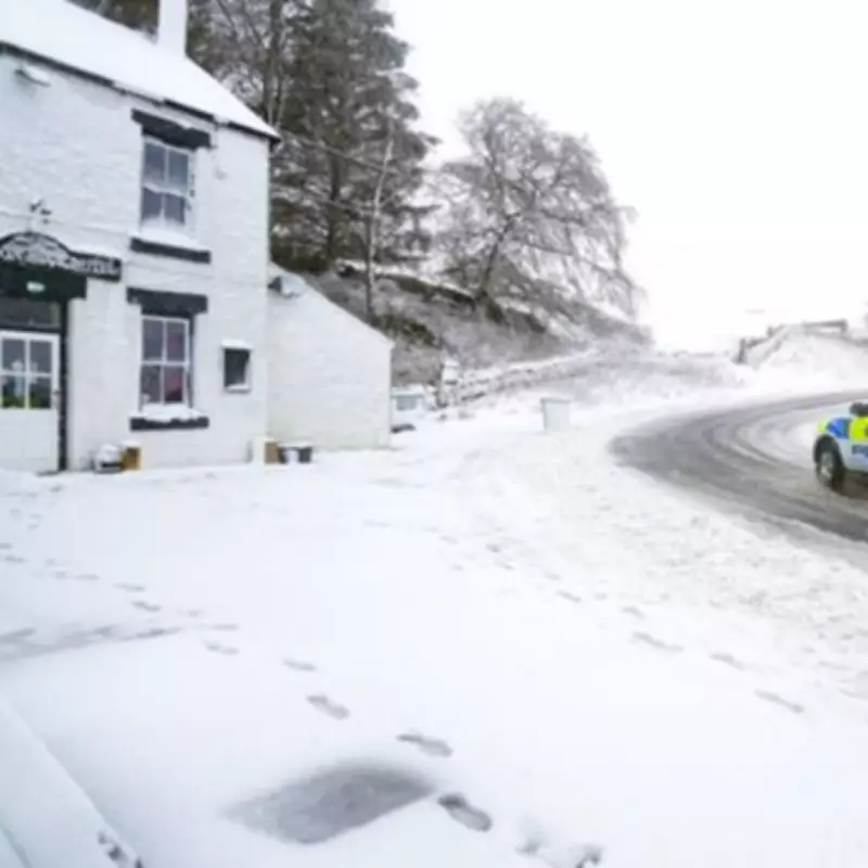
Current Conditions and Hazards
Ice remains a significant hazard following a recent cold snap that saw temperatures fall below freezing in areas like near Braintree, Essex, on Wednesday. Although it was cold enough for snow in Essex and other locations, little precipitation occurred. Today, rain is moving in from the southwest, with the heaviest downpours expected across Devon and Cornwall.
A Yellow Warning for rain is in effect for the Southwest of England, where transport disruption is likely and the rain could exacerbate existing flooding. This comes in the aftermath of Storm Chandra, which has left the ground saturated and vulnerable to further waterlogging.
Flooding Concerns and Warnings
As the snow thaws over the weekend, there are fears of additional flooding across northern England and parts of Scotland. Properties beside rivers such as the River Ouse in York and the River Wye in Derbyshire are particularly at risk. Matthew Lehnert, chief meteorologist at the Met Office, emphasised the severity of the situation.
Matthew Lehnert stated: "On Thursday, showers in southwest England will be replaced by a more organised area of rain when the next system reaches the south of Cornwall around Thursday lunchtime. There’s a Yellow Warning for rain in place from noon until Friday morning, with the focus for heavier rain across southwest England as the wet conditions spread northeast across the warning area."
He added that while the rain may only last a few hours in each location, it will be heavy at times, with 10 to 15 mm expected widely and up to 25 mm in some southern coastal areas. This rainfall on already saturated ground compounds the impacts of Storm Chandra, prompting authorities to urge the public to stay updated with forecasts and follow advice from emergency services.
Impact and Precautions
Flooding of a few homes and businesses is expected, with one severe flood warning currently in place for Lower Stour at Iford Bridge Home Park in Dorset. Residents there were evacuated yesterday due to rising river levels, and this situation persists today. The combination of snow, rain, and wind underscores the need for vigilance across the UK as this severe weather event unfolds.


