
The Met Office has issued a rare red weather warning for extreme heat across parts of southern England, Wales, and the Midlands, as temperatures could climb higher than 40C during the UK's second heatwave of the year. The highest temperatures are expected on Wednesday and Thursday, with the June record of 35.6C (set in 1976) likely to be broken, and a chance the UK could surpass its all-time record of 40.3C from July 2022.
Red and Amber Alerts in Place
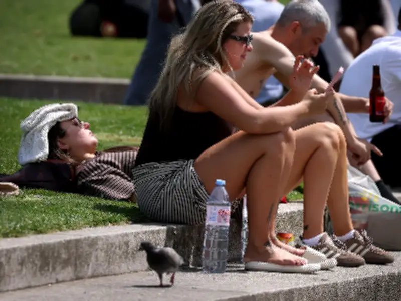
An amber alert covers a wider area of England and Wales, stretching up to Lancashire and North Yorkshire, where mid-30s temperatures are forecast. The UK Health Security Agency (UKHSA) has issued heat health alerts, warning of significant impacts on the health service. Met Office deputy chief forecaster Mark Sidaway said the heatwave will bring "severe and significant impacts," affecting the wider population, not just the vulnerable. He noted that high humidity will make conditions feel particularly "oppressive," with "tropical nights" where temperatures remain above 20C in many areas.
Weekend Cooldown Expected
While the UK has yet to see peak temperatures, the Met Office predicts a slight cooldown by the weekend. "High pressure is forecast to gradually move to the east on Friday and through the weekend, which will ease temperatures slightly, though those in the southeast will retain the exceptional warmth the longest," the Met Office said. Friday may bring rain and cloud from the west, especially in the northwest. Saturday should see temperatures drop towards the high 20s Celsius, with further declines on Sunday and into the start of next week.

Long-Range Forecast: More Heat in July
Despite the weekend respite, hot weather is likely to persist through the summer. The Met Office's long-range forecast for June 28 to July 7 indicates "fairly changeable conditions at first with periods of rain and showers, and there could be some thundery outbreaks at times." It adds, "Perhaps a drier start to July for many, although the northwest may still see some rain at times, and perhaps accompanied by some strong winds. Temperatures remain widely above average, and there remains a chance of some very warm or hot weather returning, mainly across the south."
Looking further ahead to July 8-22, the forecast states: "High pressure patterns are looking slightly more likely than low pressure patterns during the early part of this period, meaning a greater chance of settled and drier than average conditions. There is still a chance of some changeable or more unsettled conditions developing later in the period, with a risk of some heavy and thundery showers. Temperatures are likely to be above normal, with a greater than normal chance of hot conditions developing at times."