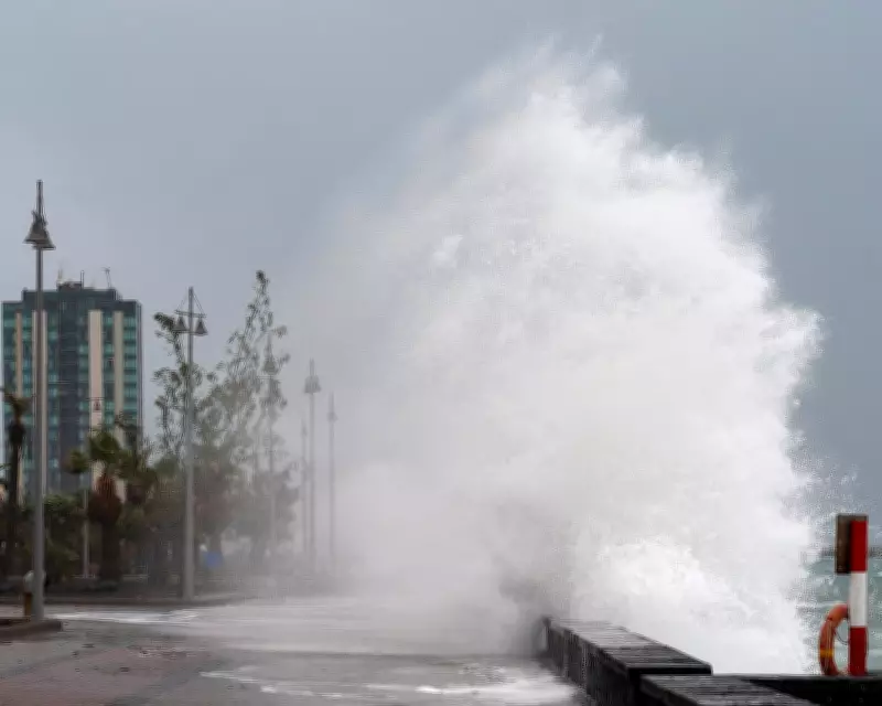
Storm Regina, named by the Portuguese weather service, swept across the Canary Islands this week, bringing severe weather conditions to the archipelago. The storm moved eastwards towards Africa on Tuesday and Wednesday, with gusts reaching up to 64mph recorded on the island of Lanzarote. This repeated scenes from November when waves crashed into promenades, highlighting the ongoing impact of extreme weather in the region.
Waves and Warnings in the Canaries
Wave heights of 5-6 metres were widely reported across the Canary Islands, with some peaks exceeding 6 metres along the northern coasts. As a result, authorities issued a yellow warning for rough seas, urging caution for residents and travelers. The storm's intensity led to significant disruptions, including the closure of multiple mountain roads in Tenerife due to snowfall at elevations above 1,500 metres.
US Winter: A Tale of Contrasts
The winter of 2025-26 in the United States has been marked by stark spatial and temporal contrasts, creating a rollercoaster of weather events. Multiple intrusions of Arctic air engulfed large parts of the country, bringing record snowfall and weeks of sub-zero temperatures to many states. Notably, Rhode Island recorded nearly 38 inches (96 cm) of snow in 48 hours during a blizzard last month.

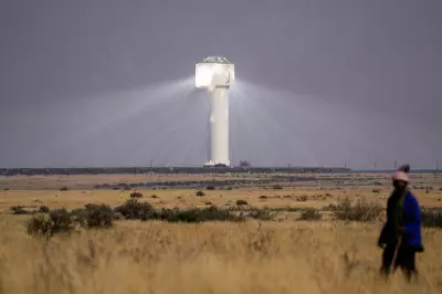
However, this week saw a dramatic shift as warm air surged northwards from Mexico, pooling over Texas, Arizona, and California. In Falcon, Texas, a temperature of 41°C (106°F) was recorded earlier this week, preliminarily breaking the record for the warmest temperature in the US during the meteorological winter months of December, January, and February.
Record Warmth and Drought Concerns
Despite the Arctic outbreaks in the eastern half of the country, record warmth in the West contributed to the season being the second warmest winter on record when averaged across the nation. Southern states like Florida experienced a very dry winter, with many areas entering spring under severe or extreme drought conditions, according to the National Drought Mitigation Centre.
El Niño Forecast Offers Hope
Looking ahead, there is light at the end of the tunnel as the latest forecast models indicate the development of an El Niño event later this year. El Niño occurs when waters in the equatorial part of the Pacific Ocean become warmer than normal and is part of the El Niño Southern Oscillation, which also includes the cooler La Niña phenomenon.
When an El Niño is present, Florida's rainy season is often amplified due to increased tropical moisture and storm activity in the eastern Pacific Ocean, potentially alleviating drought conditions. This phenomenon underscores the interconnected nature of global weather patterns and their local impacts.