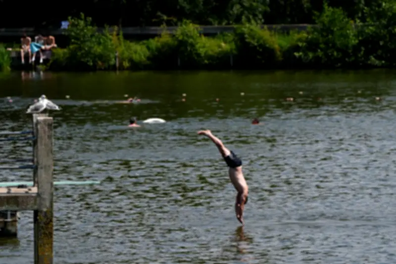
The UK is set for a drop in temperatures and thunderstorm warnings after a heatwave that broke the record for the hottest June day three days in a row. Friday was confirmed by the Met Office as the UK's hottest June day on record, with a provisional temperature of 37.3°C recorded in Santon Downham, Suffolk, surpassing the 36.7°C recorded in Merryfield, Somerset, on Thursday.
These temperatures smashed the long-standing June heat record from 1976 by more than 1°C, a significant margin given such records are usually broken by only a fraction of a degree. Scientists warned that the heatwave would have been virtually impossible 50 years ago, with human-driven climate change fuelling more intense and frequent extreme heat events.
Thunderstorm Risk and Cooling Trend
The Met Office said the third consecutive day of record-breaking June temperatures came as parts of the UK transitioned to a more westerly influence, bringing the risk of thunderstorms. A drop in temperatures will develop in the west first, with fresher conditions spreading slowly eastward over the weekend.

An amber warning for extreme heat remains in place from midnight until 9pm on Saturday across the southeast of England and East Anglia. Met Office chief forecaster Andy Page said: "The UK is seeing a gradual shift in conditions over the weekend, with those to the southeast of England retaining the warmth the longest, where an amber extreme heat warning remains in force through much of Saturday, though peaks are more likely to be in the low 30s Celsius."
Regional Weather Impacts
Western parts of Scotland and much of Northern Ireland will see rain on Saturday, with showers likely spreading further south on Sunday, though these will be fairly light. Those in the southeast could remain dry through the weekend, although there is a risk of thunderstorms before temperatures return to near average later on Sunday and into Monday.
The Met Office said next week will bring a mixed picture, with a combination of cloudy and sunny spells, as well as rain from the west at times.
Health and Infrastructure Strain
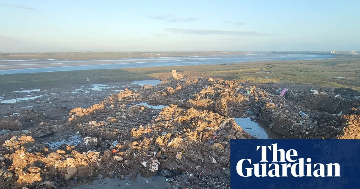
Health chiefs warned of the impact on services, with significantly more life-threatening emergency calls. Hundreds of schools and nurseries closed, and a hosepipe ban was introduced in Kent due to surging demand. Several hospitals declared critical incidents, including University Hospital Southampton, which cancelled planned operations and outpatient appointments.
Train passengers were urged to avoid non-essential travel across much of England on Friday, with Network Rail saying services in the Met Office's red and amber zones should only be used "if absolutely necessary." Courts were also affected, with cells at Bristol Crown Court closed due to heat, and defendants moved to Bristol Magistrates' Court, which was thought to be cooler.
Climate Context
The heatwave was driven by a "heat dome"—an area of high pressure that stalls over a region and traps heat—settling over western Europe and bringing extreme conditions across the continent. This has been compounded by human-driven climate change, mostly from burning fossil fuels, which is making such extreme heatwaves more frequent and intense.