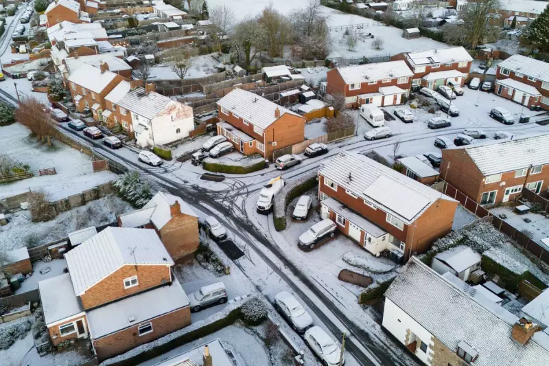
The United Kingdom has woken up to a frigid start to 2026, with a severe Arctic cold snap delivering widespread snow, ice, and plummeting temperatures across the nation.
Nationwide Warnings for Snow and Ice
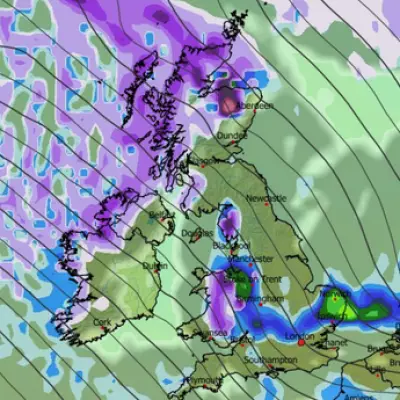
On Friday, 2nd January 2026, a multitude of weather warnings are active, covering vast areas from Scotland and Northern Ireland down through Greater Manchester, the Midlands, and London. The Met Office has cautioned of "widespread frost and ice" with temperatures remaining well below average, struggling to rise above 0°C for many.
Forecasters warn that the highest parts of Scotland could see an astonishing 40cm of snowfall, while one to two cm is expected widely across affected regions of England. An amber "risk to life" warning is in place for parts of Scotland, where strong winds may create temporary blizzard conditions, posing severe risks to travel, power supplies, and property.
Health Risks and Extended Freeze
The UK Health Security Agency (UKHSA) has issued an amber cold health alert for England, valid until 6th January. Dr Agostinho Sousa, head of extreme events at UKHSA, emphasised the serious health implications, particularly for the elderly and those with pre-existing conditions, highlighting increased risks of heart attacks, strokes, and chest infections.
Chief Met Office forecaster, Neil Armstrong, stated: "With Arctic air now covering most of the UK, very cold weather will continue through the weekend." He warned of temperatures dipping into double-digit minus figures overnight and that this cold spell is likely to persist well into the following week, with further wintry hazards expected.
Travel Disruption and Weekend Outlook
The public is urged to check conditions before journeys, allow extra time, and prepare for possible power cuts in the worst-hit areas. Hazardous travel conditions are anticipated due to settling snow and widespread ice.
The wintry conditions are set to continue into Saturday, with amber and yellow warnings remaining for Scotland. A separate yellow warning for snow will cover England's east coast from Newcastle to Norwich from midnight Friday for 24 hours, where one to three cm of snow could accumulate widely, and up to five to eight cm in some places. Further yellow warnings for snow and ice are also in effect for northern Scotland on Sunday.
The forecast for the coming days indicates a consistently cold pattern:
- Friday: Heavy snow showers for northern and northeast Scotland. Clearer skies further south but feeling cold.
- Tonight: Frequent snow showers in exposed areas, with a hard frost developing widely.
- Saturday: A cold and frosty start for all, with further snow likely in northeast Scotland.
- Sunday to Tuesday: Sunshine but sleet and snow showers continue, especially in the north. Widespread frosts persist.


