
Forecasters from BBC Weather and the Met Office have issued warnings that snow could fall across parts of the United Kingdom before the weekend, with three specific areas identified as being at particular risk on Friday. This cold snap is expected to bring wintry conditions to regions that might not typically see such weather at this time of year.
Detailed Forecast for the Coming Days
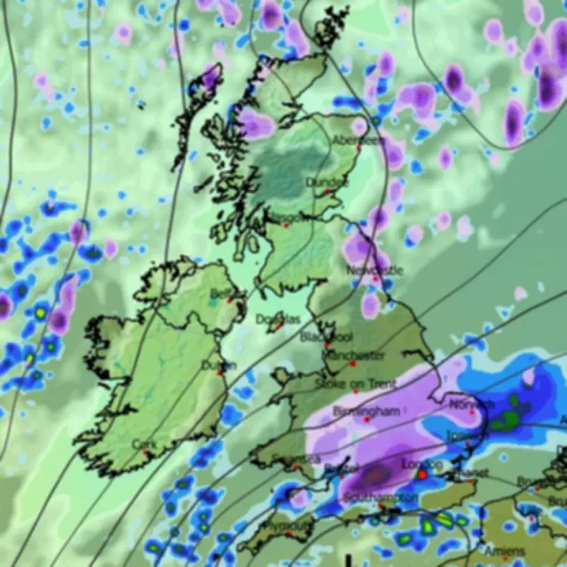
In its latest outlook, BBC Weather indicates that Britons should prepare for "prolonged spells of rain" moving into northern regions on Wednesday. Scotland is likely to experience "heavy rain and hill snow," while southern areas will start with "bright" spells before transitioning to "showery rain" later in the day.
Thursday's Weather Patterns
Thursday will bring "further patchy rain" across the country, with "brighter" conditions anticipated in the far north. However, BBC Weather notes that some "wintry" showers could develop over coastal areas, hinting at the colder air moving in.

Friday's Snow Risk Areas
Moving into Friday, BBC Weather highlights three areas at risk of snowfall: southern hills, as well as north and east coasts. The forecast states: "Friday could see spells of rain and hill snow in the southern half to start, with snow showers pushing into north and east coasts through the day." This suggests a widespread cold front affecting multiple regions simultaneously.
Weekend Outlook and Valentine's Day Conditions
For Saturday, which coincides with Valentine's Day, BBC Weather expects a "crisp" and "bright" day for many, though "wintry showers" may linger over eastern coasts. By Sunday, a new frontal system from the Atlantic is predicted to bring milder air and rain, preceded by sleet and snow over higher ground, primarily in the northern half of the UK.
Met Office Confirms Snow Potential
The Met Office's outlook for the rest of the week aligns with BBC Weather's predictions. For Wednesday, conditions will remain "largely cloudy with outbreaks of rain for most," with the north experiencing "fairly windy and cold" weather and the south "feeling mild." From Thursday to Saturday, the forecast adds: "Unsettled at first with further outbreaks of rain. Turning colder from Friday with a chance of snow showers, particularly in the north. Dry, cold and sunny for many on Saturday."
Long-Term Forecast and Flooding Risks
Looking ahead to next week, BBC Weather forecasters have warned of a risk of flooding in parts of the country. The forecast for February 16 to 22 states that the widespread cold will be temporary, with high pressure to the north likely weakening. This could allow south-westerly wind flows to develop, bringing milder air across the UK, though Scotland may remain chillier.
This shift to an Atlantic-influenced weather pattern is expected to bring periods of wet and windy conditions, with above-average rainfall amounts. This increases the risk of local flooding, particularly in southern and south-western UK, and in South Wales. Additionally, snow could occur on the colder leading edge of rain bands, especially over higher ground in northern areas.
The forecast also notes: "There is a signal for high pressure to build over the eastern Atlantic between weather systems, delivering brighter but chillier interludes with some wintry showers on north to north-westerly winds." This indicates that while milder conditions may return, colder spells with snow showers could still interrupt the weather pattern.


