Britain Braces for Chilly Reversal After Spring Sunshine Peak
Just days after basking in the warmest temperatures of the year, the United Kingdom is set for a stark meteorological about-face. Forecasters are predicting a shivering cold snap, with the potential for snowfall in some regions, as early as next week.
From Record Highs to Single-Digit Lows
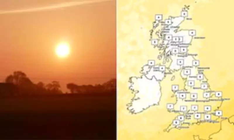
The nation enjoyed a glorious taste of spring last week, with the mercury soaring to 20.9C (69.6F) in Gogerddan, Wales, and 20.2C (68.4F) in Northolt, West London. This not only marked the hottest day of 2026 so far but also surpassed many popular European holiday destinations like the Algarve and Ibiza. However, this sunny interlude is about to be abruptly curtailed.
According to the Met Office, temperatures are projected to plummet dramatically. By Wednesday, a significant 'cold plunge' will set in, with daytime highs dwindling into single digits Celsius for most areas. Meteorologist Alex Deakin emphasized that these figures represent the maximum temperatures, with colder conditions expected overnight, bringing a risk of frost.

Snow Shock for Scotland After Warm Spell
The shift will be particularly jarring for northern Scotland, which recorded its own annual high of 20.2C in Aberdeenshire just days prior. The region may need to brace for snowfall on Wednesday night into Thursday morning. "We could easily see some snow over the hills in Scotland," Mr. Deakin stated, noting that while not unusual for the season, it will "feel different" and deliver a "shock to the system" following the recent warmth and sunshine.
The Met Office attributes last week's unseasonable warmth to warm air being drawn up from southern Europe, aided by southerly winds, high pressure, and the Foehn effect. Spokesman Grahame Madge remarked on the typical variability, joking that "the warmest day of the year klaxon is going off every day" at this time of year.
Cool and Changeable Outlook Ahead
Looking ahead, the forecast indicates that rain and wind will ease later in the week, but temperatures are likely to remain cool, hovering at or slightly below the seasonal average. The long-range outlook suggests changeable and unsettled conditions for many parts of the UK into April, with high pressure potentially returning to bring drier weather, though accompanied by overnight fog and frost risks.
This sharp contrast serves as a reminder of Britain's famously unpredictable spring weather, swinging from record-breaking sunshine to wintry chills within a matter of days.