
Met Office Issues Snow and Ice Warnings for 55 UK Locations
The Met Office has issued urgent weather warnings for snow and ice across extensive regions of the United Kingdom, with forecasts predicting up to four inches of accumulation in some areas. The national weather agency has specifically named 55 different places that are expected to be impacted by the wintry conditions on Thursday and Friday.
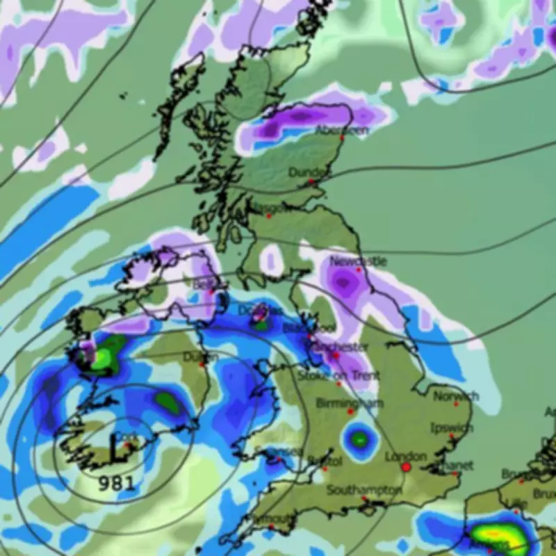
Detailed Timeline and Coverage of Weather Alerts
The first warning, which encompasses nearly all of Scotland, is scheduled to take effect at 4:00 PM on Thursday and will remain in place until midday on Friday. A second alert, covering parts of southern Scotland, northern England, and the Midlands, will be activated from 7:00 PM on Thursday and also expire at midday Friday. Both warnings indicate that higher ground could experience snowfall reaching up to 10 centimetres, equivalent to four inches.
In addition to the snow, the Met Office has highlighted the risk of ice forming on surfaces, which could create hazardous conditions for pedestrians and motorists. The public is strongly advised to exercise caution while travelling outdoors during this period.

Essential Safety Advice for Drivers
For those planning to drive, the Met Office recommends keeping a comprehensive emergency kit in vehicles. This should include warm clothing, non-perishable food, drinking water, a blanket, a torch, an ice scraper or de-icer, a warning triangle, a high-visibility vest, and an in-car phone charger. These precautions are designed to enhance safety in case of unexpected delays or emergencies caused by the severe weather.
Comprehensive List of Affected Regions
The areas under the snow and ice warnings span multiple regions. In Scotland, the alerts cover Central, Tayside & Fife, including Angus, Clackmannanshire, Dundee, Falkirk, Fife, Perth and Kinross, and Stirling. Grampian areas such as Aberdeen, Aberdeenshire, and Moray are included, along with the Highlands & Eilean Siar, Orkney & Shetland Islands, and SW Scotland, Lothian Borders, which encompasses Dumfries and Galloway, Edinburgh, and the Scottish Borders. Strathclyde regions like Argyll and Bute, Glasgow, and various Lanarkshire and Ayrshire councils are also affected.
In England, the warnings extend to the East Midlands, including Derbyshire, North East England areas such as Durham, Newcastle upon Tyne, and Northumberland, North West England covering Cheshire East, Cumbria, and Lancashire, the West Midlands with Staffordshire, and Yorkshire & Humber, including East Riding of Yorkshire, North Yorkshire, and York.
Extended Forecast and Future Weather Patterns
Looking beyond the immediate warnings, the Met Office suggests that further snowfall could occur later in February. The forecast for February 16 to 25 predicts showers or longer spells of rain, with some heavy precipitation likely in places. Snow is anticipated primarily in northern regions, especially on high ground. The forecast also notes the possibility of strong winds, particularly around coastal areas, with temperatures expected to be near normal. Towards the end of the period, there is a chance that drier and more settled conditions may begin to develop.


