The Met Office has issued a yellow weather warning for thunderstorms across parts of Wales and southwest England, with four specific hazards expected to affect the region from this afternoon through Thursday morning.
Key Hazards Listed by Forecasters
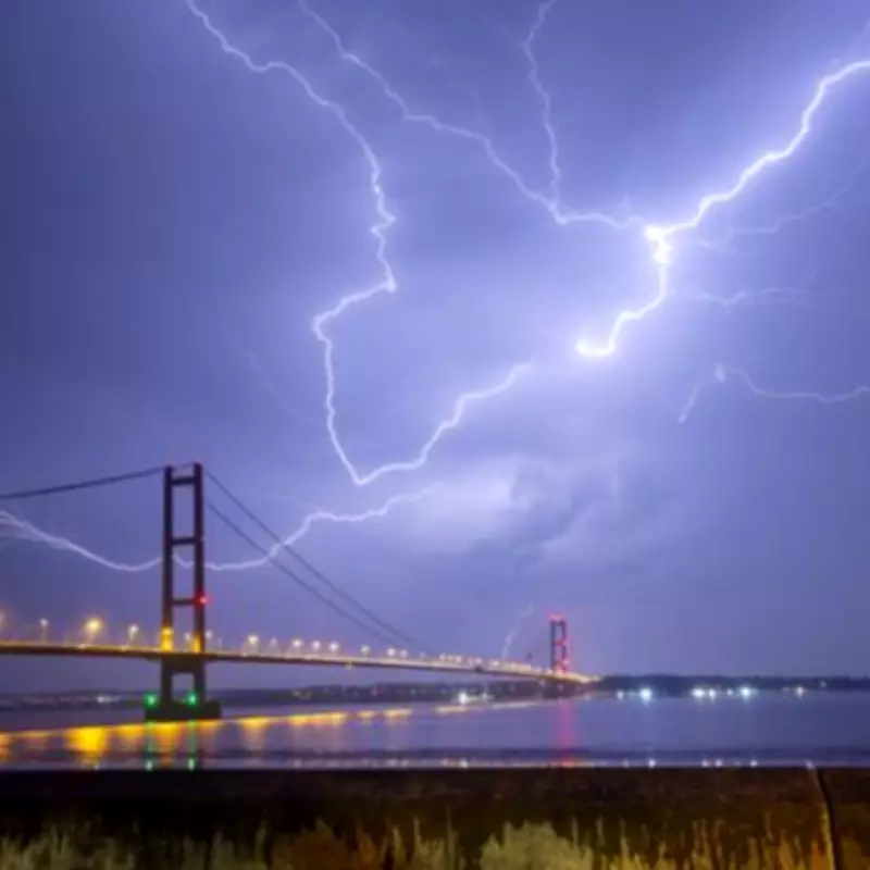
According to the Met Office, the storms could bring torrential downpours, frequent lightning, large hail, and strong gusty winds. The four main risks include:
- Difficult driving conditions due to spray, standing water, and hail, leading to longer journey times
- Possible damage to buildings and structures from lightning strikes
- Short-term loss of power and other services
- Some flooding of homes and businesses, potentially causing structural damage
Residents are advised to prepare emergency kits containing torches, batteries, and mobile phone power packs. The heaviest storms are anticipated across Wales and the southwest of England, though many places may escape the worst conditions.

Abrupt Change After Heatwave
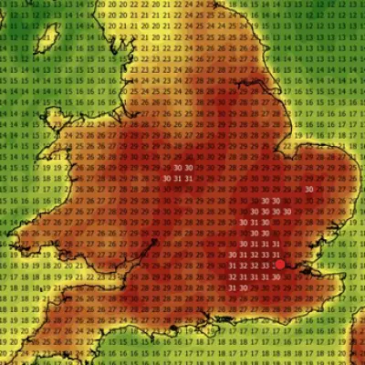
The stormy weather marks a sharp contrast to recent days, when temperatures exceeded 30C across much of the UK. Cardiff recorded 32.9C on Tuesday, but low pressure moving in from the west is expected to bring cooler conditions for the remainder of the month.
The Environment Agency currently has no flood alerts in place, though earlier concerns for parts of the Midlands, including the River Blythe in Warwickshire, have been lifted as forecasts evolve.
Thursday Outlook
Drizzle will move from west to east on Thursday, with the strongest rain over the Home Counties in the afternoon. Driving conditions may remain challenging throughout the day, particularly during evening rush hour in parts of southeast England. The Met Office forecast states: 'Mostly dry with sunny spells, but also a few showers and thunderstorms possibly breaking out across England and Wales later in the day. Warmer again for many.'