Communities across far north Queensland, still reeling from the devastating impacts of Cyclone Narelle, are now facing a fresh meteorological threat as they continue arduous clean-up operations. A tropical low currently situated between Papua New Guinea and the Solomon Islands is forecast to intensify into a cyclone by Sunday, with experts warning of multiple possible tracks that could once again endanger the Queensland coastline.
Uncertain Forecast Paths Raise Alarm
Bureau of Meteorology senior forecaster Jonathan How has confirmed that conditions in the Coral Sea remain "very favourable" for further cyclone development and strengthening. The system is expected to gain power over the weekend and into early next week before beginning its movement from Monday onwards.
"Most of the models do say that it will drift towards the south to southwest on Monday and Tuesday, which means into the Coral Sea," Mr How explained to AAP. However, forecast predictions diverge significantly beyond that point, creating considerable uncertainty for vulnerable coastal communities.

Conflicting Model Predictions
The European forecasting model, one of the world's primary meteorological systems, suggests the developing cyclone could continue westward and potentially approach the far north Queensland coast by Saturday. Other models present alternative scenarios, including the system remaining approximately 1,000 kilometres from the coastline or shifting eastward toward New Caledonia.
"There is still quite a bit of spread in the tracks it could take from Wednesday, and that means that there's still a range of scenarios possible," Mr How emphasized. He cautioned that while the European model currently indicates a potential Queensland landfall as a strong cyclone, "that's just one model in a range of different scenarios."
Historical Context and Seasonal Patterns
Should this developing system cross the Queensland coast, it would represent the shortest gap between direct cyclone strikes on the state since early 2011, when cyclones Anthony and Yasi made landfall in quick succession. Coral Sea surface temperatures remain exceptionally warm at "around 30 degrees plus" – more than sufficient to support both cyclone development and subsequent intensification.
"Sea surface temperatures are the biggest factor," Mr How noted, highlighting the primary driver behind the system's potential strength. This developing weather system could potentially become the season's eleventh cyclone, placing it close to average numbers for Australia's tropical cyclone season, which officially continues until the end of April.
Communities in Recovery Mode
Far north Queensland residents remain firmly entrenched in recovery operations following Cyclone Narelle's passage, with damage assessments, bureaucratic paperwork, and formal funding activations still underway across affected regions. Cook Shire Mayor Robyn Holmes, speaking from Cooktown north of Cairns, captured the community's anxious mood: "It's hard because there's so much happening and we just really don't know where it's going to land."
"We are aware that it's there. However, it hasn't formed, and we don't have a clear indication of whether it's going to have an impact on the Queensland coast," Mayor Holmes added, reflecting the uncertainty facing local authorities and residents alike.
Narelle's Destructive Legacy
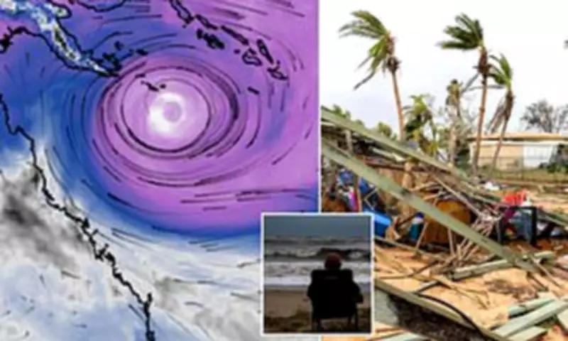
Cyclone Narelle left a trail of significant destruction across far north Queensland, with downed trees, damaged infrastructure, and flooded homes highlighting critical gaps in disaster preparedness. The absence of dedicated cyclone shelters and specialized disaster management centres has prompted renewed calls for funding to establish safe places in towns that frequently become isolated during severe weather events.
Communication failures have further complicated recovery efforts, with Telstra outages leaving some residents without coverage despite assurances about backup systems. Community representatives report having raised concerns about the reliability of small cell towers for years, with Narelle's impact underscoring these vulnerabilities.

Historical Significance of Narelle
Cyclone Narelle crossed Cape York and the Northern Territory before re-intensifying off Western Australia and devastating the state's northwest region. The storm joins an exclusive historical group as only the third recorded cyclone to make landfall in three separate Australian jurisdictions, following in the footsteps of cyclones Ingrid (2005) and Steve (2000).
As Queenslanders monitor the developing tropical low with wary eyes, the dual challenges of ongoing recovery and potential new threat create a complex emergency management scenario for authorities and communities already stretched thin by recent events.