
UK Braces for Second Winter Blitz as Snow Maps Predict Widespread Blizzards
While many parts of the United Kingdom have been enjoying unseasonably warm spring sunshine, new meteorological data reveals a stark reversal is on the horizon. Advanced weather modelling indicates a significant winter weather event is poised to strike the nation next week, bringing heavy snowfall and disruptive blizzard conditions to a vast swathe of the country.
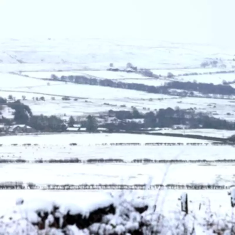
Extensive Snowfall Forecast for Multiple Regions
The Global Forecast System (GFS) weather model projects that snow will begin falling across a massive stretch of the UK from approximately 6:00 AM on Friday, March 13th. The initial and most intense accumulations are expected to impact the north of Scotland. However, the system is forecast to extend its reach considerably, with snow flurries anticipated to affect Wales, Northern Ireland, and the north-west of England concurrently.
Manchester and surrounding areas are within the projected path of this wintry precipitation. Meteorological analysis suggests that most of Northern Ireland will be under a substantial blanket of snow during this period. The blizzard conditions are predicted to persist throughout the day, with some localities, particularly in elevated areas, potentially receiving up to 12 centimetres of fresh snow.

Plummeting Temperatures Accompany the Snow
This incoming cold snap will be accompanied by a dramatic drop in temperatures. Thermometers are forecast to plunge to as low as -7°C in some parts of the country, creating hazardous travel conditions and increasing the risk of ice. This forecast represents a sharp contrast to recent conditions, where parts of the UK experienced the hottest day of the year so far.
On Thursday, March 5th, the mercury soared above 19°C in London, with residents basking in clear skies and prolonged periods of warm daylight. The sudden shift underscores the volatile nature of early spring weather patterns across the British Isles.
Longer-Term Forecast Hints at Prolonged Cold Spell
The Met Office has issued guidance warning of a potential "colder spell" developing later in the month. In its official outlook for the period from March 20th to April 4th, the national weather agency states that the start of this period could see unsettled conditions fairly widely across the UK.
The forecast indicates spells of rain and strong winds may affect many areas, with western regions likely to remain the wettest. While confidence in the detailed evolution remains low, there is potential for weather patterns to become slower-moving by late March. This could result in unsettled weather becoming more confined to parts of the south-west, as areas towards the north turn drier.
Overall, temperatures are expected to average out near seasonal norms, but the Met Office notes clear "indications of a cooler spell towards the turn of the month."
BBC Weather Corroborates Wintry Outlook
BBC Weather has echoed this cautious outlook, specifically warning of "wintry showers" in its forecast for March 16th to 22nd. The broadcaster predicts that it will probably be a little bit cooler overall, although day-to-day temperatures will vary as weather systems move in from the Atlantic.
These incoming systems are expected to bring spells of showery weather. Crucially, the BBC notes that it is still early enough in the year for there to be a significant chance of some wintry showers over higher ground in the north of the UK, aligning with the GFS model's predictions for more widespread snow next week.
The combination of these forecasts from multiple authoritative sources suggests that the UK is not yet done with winter weather, and the public is advised to prepare for a return of frosty, disruptive conditions in the coming days.


