
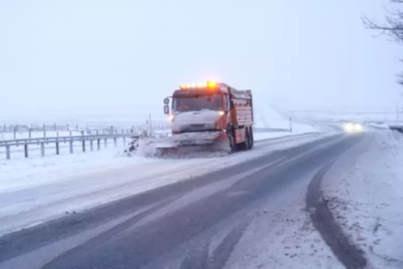
Snow Warning and Flooding Threaten Over 70 Areas Across the UK
The Environment Agency has issued a stark warning for the public to remain vigilant as a yellow snow alert is in force in parts of eastern England, with flooding expected in more than 70 areas. This comes after a series of weather warnings expired over the weekend, but a new snow warning remains active until 4pm on Sunday, covering regions such as Lincolnshire, Norfolk, and Suffolk.
Flood Warnings and Alerts in Place
As of Sunday morning, there were 74 flood warnings and 162 flood alerts across England, highlighting the widespread risk. Jonathan Day, flood duty manager at the Environment Agency, reported that while more than 24,000 homes and businesses have been safeguarded, approximately 330 properties have already been flooded, underscoring the severity of the situation.
Disruption from Snow and Rain
The snow warning predicts that rain moving eastwards through Sunday morning is likely to turn to sleet and snow, potentially causing travel disruptions. Accumulations of 1cm are expected, with a chance of 2-4cm in areas like the Lincolnshire Wolds, Norfolk, and Suffolk if snowfall intensifies briefly. Met Office meteorologist Greg Dewhurst noted that Sunday will start blustery for many, with outbreaks of showery rain and some hill snow.

Temperature Variations and Future Outlook
Temperature differences are notable across the UK, with milder air moving into the South West, where parts of Cornwall and Devon could reach 12°C, while eastern regions may experience cooler conditions around 4°C to 5°C. Looking ahead, next week is forecast to bring unsettled and blustery conditions with showers nationwide, easing into Tuesday. Another weather system is expected to arrive on Wednesday, bringing more unsettled weather, though Thursday is anticipated to be drier.
The public is advised to stay informed and take precautions as the Environment Agency continues to monitor the ongoing flood risk and snow impacts.


