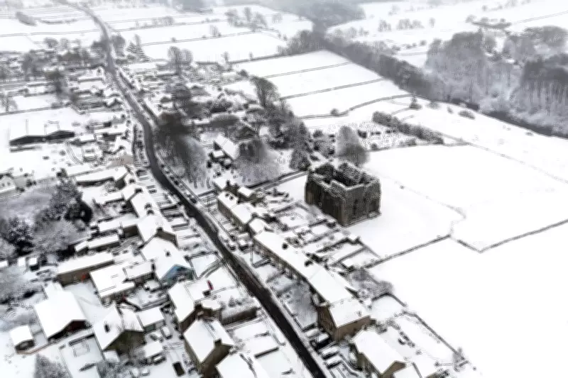
UK Braces for Snow and Sub-Zero Temperatures After Spring Warmth
The United Kingdom is set for a dramatic weather shift this week, with snow and temperatures plunging below freezing expected to hit parts of the country. This comes after days of spring sunshine that saw the UK record its warmest day of the year so far last week.
Unsettled Weather Brings Wintry Conditions
Heavy rain, strong winds, sleet, and hail are also forecast to batter some areas as unsettled weather spreads nationwide. The Met Office has issued warnings, noting that temperatures will fall significantly, bringing risks of frost and ice for many regions.
Last Wednesday, Wales experienced a high of 20.9°C, marking the peak of the recent mild spell. However, deputy chief forecaster Steven Keates stated: "After a spell of mild and brighter weather, the UK will turn increasingly unsettled in the coming days. A series of weather fronts will bring periods of rain, strong winds and much colder air by midweek. Wednesday could be quite a shock to the system."

Detailed Forecast and Impacts
Temperatures are predicted to range from 6°C to 10°C, but will feel closer to low single figures due to wind chill. Wintry showers are likely, especially over higher ground in the north, with a widespread frost and icy patches possible on Wednesday night. Conditions should become milder again by Friday, though many areas will see another spell of rain.
Met Office meteorologist Honor Criswick added: "Some showers will be heavy with some hail and thunder, and may bring some snow to modest hills, with small accumulations likely." She emphasized that temperatures will be widely below the seasonal average of around 11°C, representing a "big change" from last week.
Regional Breakdown and Outlook
Tuesday is expected to be wet and windy for many, with heavy, persistent rain across northern England and Wales. Blustery showers will move into Scotland and Northern Ireland, potentially bringing hail, thunder, and wintry showers over higher ground.
By Wednesday, it will feel "markedly" colder across all parts, with widespread rain, sleet, and hail showers. Snow is likely over higher ground in the north, while other regions will experience blustery conditions that feel cold despite occasional sunshine.
Wednesday night could see temperatures drop to as low as -5°C in rural Scotland, with a widespread frost likely overnight and ice in northern areas on Thursday morning. Thursday should remain dry with sunny spells for most, though cloud and rain will push into Northern Ireland and western parts later.
Temperatures are forecast to return closer to average from Friday onwards. However, further weather systems may impact the UK over the weekend, most likely affecting northern areas, keeping conditions changeable.