Storm Dave Threatens Easter Weekend with 90mph Winds and Casualty Warnings
The Met Office has officially named Storm Dave, forecasting it to batter the United Kingdom with potentially deadly 90mph winds during the crucial Easter holiday weekend. Meteorologists have issued stark warnings that "there will be casualties" if the public fails to take the severe weather conditions seriously.
Severe Weather Warnings Issued
Storm Dave represents the fourth named storm of the current season and is expected to reach the UK during Saturday afternoon, with the most severe conditions developing throughout the night. The Met Office has activated three Yellow severe weather warnings covering the entirety of Scotland, Northern Ireland, north Wales, and significant portions of northern England.
An additional Yellow warning for snow has been issued for northwest Scotland, effective from 3pm on Saturday until 3am on Sunday morning. The low-pressure system is predicted to rapidly intensify through a meteorological process known as cyclogenesis, bringing exceptionally strong winds alongside heavy rain and blizzard conditions to higher elevations.

Expert Predictions and Regional Impact
Jim Dale, senior meteorologist at British Weather Services, provided detailed analysis of the storm's expected trajectory and impact. "There will be casualties if people take the weather for granted, which is what they do," Dale cautioned. "We've been there before. During holiday periods like Easter, you always encounter individuals who find themselves in the wrong place at the wrong time, potentially overwhelming mountain rescue teams and the RNLI."
Dale emphasized that Storm Dave will primarily affect northern regions, stating: "It's a northern event, not a southern event at all. The real brunt will be felt in West and North Scotland." The storm system is expected to travel over western Ireland, across Northern Ireland, into western Scotland, and exit through northeast Scotland toward the Shetland Islands by Sunday morning.
Wind gust predictions include:
- 80 to 90mph in North and West Scotland
- 60 to 70mph across most of Scotland
- 50 to 55mph in Northern Ireland and northern England
- Approximately 40mph in the Midlands
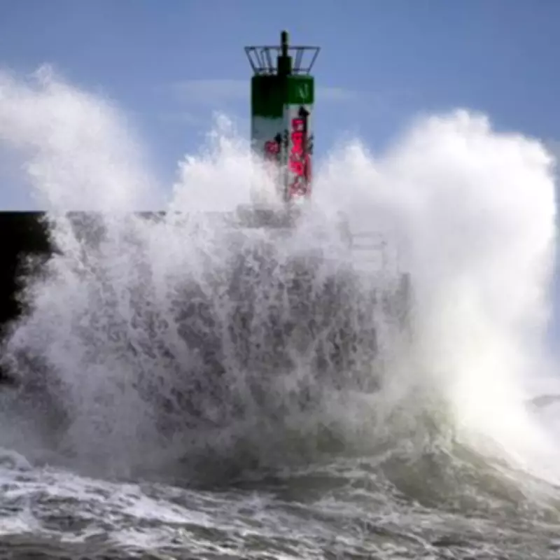
Public Safety and Travel Disruptions
Authorities have urged the public to avoid hiking in northern regions on Saturday and to steer clear of beaches and coastlines entirely. The combination of driving rain and blizzard conditions in Scotland's higher hills and mountains presents particular danger during a holiday period when outdoor activities typically increase.
"People will be climbing places like Glencoe and Ben Nevis or taking boats out to sea," Dale noted. "Setting off early on Saturday morning in these conditions means they're going to get caught out. It's as simple as that."
Travel disruptions are anticipated during one of the busiest weekends of the year. The RAC has advised drivers to exercise extreme caution on motorways and elevated routes. RAC spokesperson Rod Dennis stated: "The arrival of Storm Dave will make driving conditions across the north and west particularly challenging. We recommend taking extra care on exposed, higher routes and being especially cautious when overtaking high-sided vehicles."
Dennis emphasized that slowing down and maintaining a firm grip on the steering wheel are essential safety measures under these dangerous wind conditions. The strongest winds are forecast to pass over the UK by Sunday afternoon, but significant impacts will be felt throughout the holiday period.