Storm Dave Approaches UK with Severe Weather Warnings
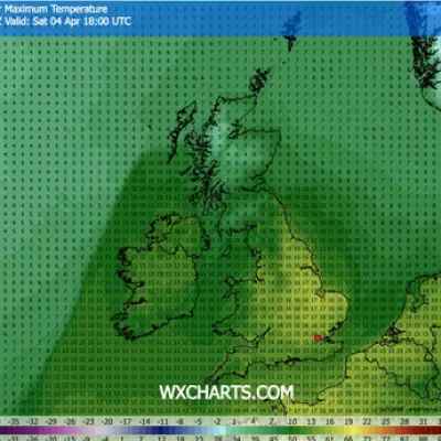
The United Kingdom is preparing for the arrival of Storm Dave tonight, with the Met Office forecasting 90mph wind gusts and up to 12 inches of snow in some areas. This low-pressure system, named earlier this week, represents the fourth named storm of the season and is expected to make landfall around 5pm today, intensifying into the night from 7pm onwards.
Amber Warning Issued for Disruptive Winds
The Met Office has activated a rare Amber warning for wind, covering multiple regions across Scotland, England, Wales, and Northern Ireland. This alert, effective from 7pm today until 3am on Easter Sunday, warns of "disruptive and potentially damaging winds" that could lead to extended journey times or cancellations of air, ferry, and rail services. Officials have cautioned that "flying debris is likely and could lead to injuries or danger to life."
Northern Regions to Bear the Brunt
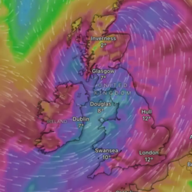
According to weather expert Jim Dale, Storm Dave will primarily impact northern parts of the UK, with the most severe conditions concentrated in West and North Scotland. He explained, "It's a northern event, it's not a southern event at all. The real brunt of it will be in the West and North Scotland." The storm is projected to track over western Ireland, Northern Ireland, western Scotland, and northeast Scotland toward the Shetlands by Sunday morning.

Wind gusts are anticipated to reach 80-90mph in North and West Scotland, 60-70mph across most of Scotland, 50-55mph in Northern Ireland and Northern England, and around 40mph in the Midlands. In addition to the wind, heavy rain and blizzard conditions are forecast for the Scottish Highlands, posing risks to outdoor activities like hill climbing and boating.
Travel Disruptions Expected During Busy Easter Weekend
The timing of Storm Dave coincides with one of the busiest travel weekends of the year, prompting warnings from the RAC. Spokesperson Rod Dennis advised, "Drivers shouldn’t underestimate the impact of the very strong winds that are forecast. We recommend taking extra care on exposed, higher routes and being especially cautious when overtaking high‑sided vehicles." He emphasized slowing down and maintaining a firm grip on the steering wheel to navigate the challenging conditions safely.
Residents in the 25 affected locations are urged to stay updated on weather developments and prepare for potential power outages, road closures, and transport delays. The combination of extreme winds and snowfall is likely to create hazardous driving conditions, particularly on motorways and elevated terrain.