
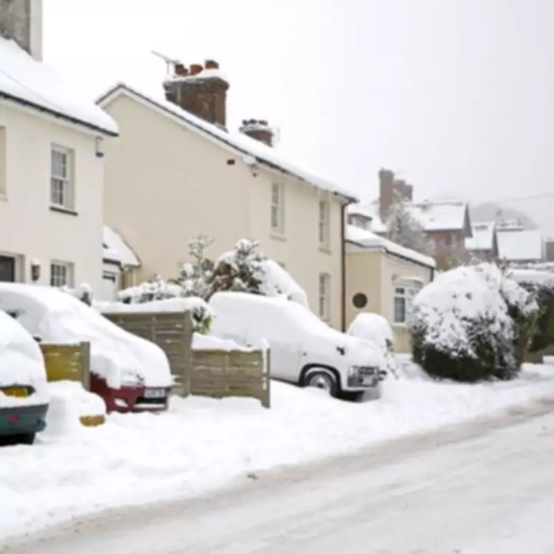
UK Braces for 36-Hour Blizzard as Snow Maps Forecast Widespread Disruption
Striking weather maps issued by forecasters at Metdesk indicate that a significant 36-hour blizzard is looming for multiple major UK cities, with up to 11 urban centres set to be impacted by a late-March cold snap. The meteorological charts vividly illustrate bands of snow moving southwards across the nation from the early hours of March 24, with wintry conditions expected to persist relentlessly into the afternoon of March 25.
Key Cities in the Firing Line for Heavy Snowfall
Forecasters have identified several key cities that are squarely in the firing line for this impending wintry onslaught. In Scotland, the urban areas of Glasgow, Edinburgh, Aberdeen, and Dundee are all anticipated to experience snowfall at some stage during the 36-hour period. Across northern England, the cities of Newcastle, Leeds, Manchester, and Sheffield are similarly forecast to be blanketed by snow.
Further south, the Midlands and parts of north Wales are not immune, with Birmingham, Stoke-on-Trent, and regions around Wrexham also expected to see significant flurries. There are even emerging signs that snow showers could potentially reach parts of southern England, with London, Southampton, and surrounding areas indicated on the maps as facing at least some risk of wintry precipitation during this timeframe.

Met Office Long-Range Outlook Confirms Unsettled Shift
This anticipated wintry spell corresponds directly with the Met Office's own long-range weather outlook, which explicitly warns of a pronounced shift towards more unsettled and changeable conditions in late March. Forecasters indicate that Atlantic weather systems will usher in this period of variability, with a "briefly widely colder interlude" becoming distinctly possible as northerly winds develop across the UK.
The Met Office's official outlook states: "A transition to a more changeable and in places rather unsettled spell of weather looks to take place at the start of this period as Atlantic frontal zones cross the UK. These are likely to be most active in the north and somewhat weaker further south." This colder atmospheric shift substantially increases the likelihood of snowfall, particularly across northern regions, while potent accompanying winds could heighten the risk of genuinely disruptive conditions.
Stark Contrast to Current Balmy Temperatures
The forecasted blizzard presents a stark and dramatic contrast to the current balmy conditions being experienced across much of the UK. On the day of this report, temperatures are likely to exceed 20°C in several locations, with the warmest conditions expected across the East Midlands and parts of Yorkshire. This sudden plunge from unseasonable warmth into a wintry deep freeze underscores the volatile and unpredictable nature of late-March weather patterns.
Northern and western regions of the UK appear most vulnerable to the heaviest and most persistent snowfall, according to the detailed meteorological maps. However, the charts also suggest that snowfall could extend further south at times as colder air sweeps decisively across the entire country. Forecasters caution that specific details remain uncertain several days in advance, especially for southern regions where temperatures may linger closer to the critical rain-snow threshold.
Based solely on the comprehensive weather maps provided for the critical period from midnight on March 24 to 12pm on March 25, the following UK cities are indicated to experience some degree of snow or wintry precipitation: Glasgow, Edinburgh, Aberdeen, Dundee, Newcastle, Leeds, Manchester, Sheffield, Birmingham, Stoke-on-Trent, and areas in north Wales including Wrexham.


