
UK Weather: Heatwave Set for Swift Return Following Brief Cool Interlude
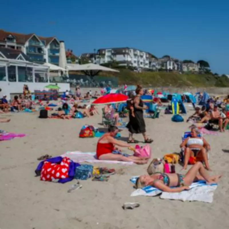
New weather maps have unveiled the precise timeline for the return of warmer conditions to the United Kingdom, following the recent heatwave that saw temperatures soar to 26C in parts of the country earlier this week. The data indicates a temporary dip in temperatures is imminent before a sharp and significant rebound.
Cooler Air Mass to Bring Temporary Relief
According to detailed charts from WXCharts, a cooler airmass is forecast to sweep across the UK starting Wednesday, April 15. This will result in a noticeable drop in maximum temperatures for most regions.
- For the majority of the country, temperatures are expected to sink to between 10C and 13C.
- The South and South-east of England will experience slightly milder conditions, with highs ranging from 14C to 17C.
- The cooler snap will be most acutely felt across Scotland and northern England, where maximum temperatures are predicted to plummet to between 7C and 11C.
This cooler period, however, is projected to be short-lived, offering only a brief respite from the spring warmth.

Warm Weather Makes a Comeback
The forecast takes a positive turn from Sunday, April 20, as temperatures begin to climb once again. The weather maps illustrate a clear return to milder spring conditions.
- Southern England, including London and the South East, could see temperatures reach a pleasant 17C to 19C.
- The Midlands and Wales are forecast to experience highs of around 14C to 17C.
- Further north, temperatures will remain more subdued, ranging from 9C to 12C.
The warming trend is set to continue into Tuesday, April 21, with much of southern England climbing further to 18C to 20C. Central areas are expected to reach 16C to 18C, while northern England and Scotland will lag slightly behind at 10C to 13C.
Broader Weather Patterns and Official Forecast
The broader pressure chart for mid-April supports this meteorological shift, clearly showing cooler air dominating around April 15 before milder conditions push back in from the South.
The Met Office long-range forecast for the period from April 15 to April 24 corroborates this pattern, predicting initially "changeable" conditions. Low pressure is expected to bring showers or longer spells of rain, particularly in the North-west, accompanied by some strong winds.
Meanwhile, the South-east is likely to stay drier and brighter. Later in the period, the weather may turn more settled, especially in northern areas, though parts of the South could still experience rain at times.
Overall, temperatures are expected to be near or slightly above average for the time of year. This reinforces the signal from the weather maps that any mid-month cool spell will be temporary, with the milder spring conditions characteristic of April quickly reasserting themselves across the country.


