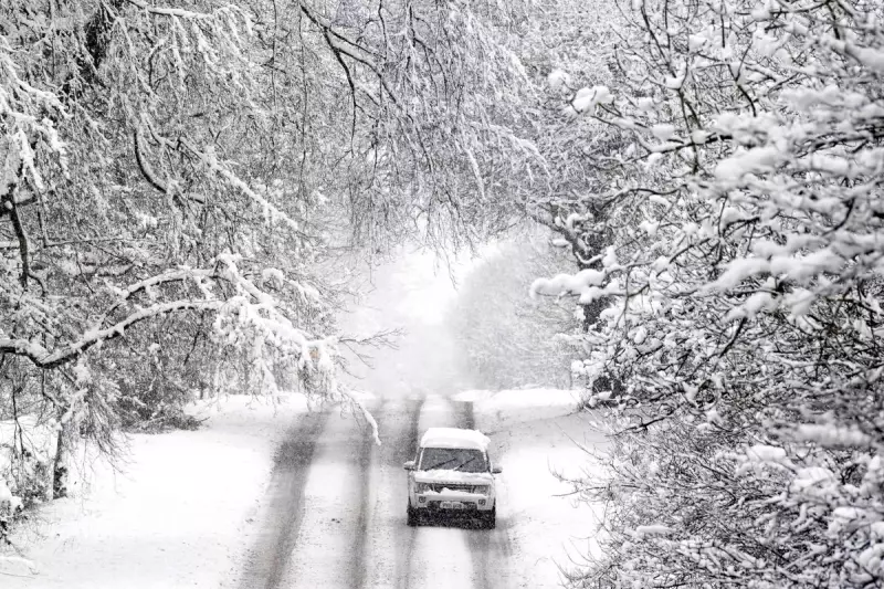
The UK is set for a frigid start to 2026, with forecasters warning temperatures will plummet to freezing and below next week, bringing a risk of wintry hazards. This follows a relatively mild weekend after Christmas Day, where temperatures ranged from 5°C to 9°C.
A Chilly Turn for the New Week
As the new week begins, a sharp drop in the mercury is expected across the country. Daytime temperatures in Glasgow could struggle to reach just 1°C. The chill will intensify after dark, particularly across northern regions. On Monday and Tuesday nights, the Met Office predicts lows of 0°C and below in the North of England and Scotland.
Despite the cold snap, the weather is expected to remain largely settled until the year's end due to dominant high-pressure systems. This means plenty of dry weather, albeit under often cloudy skies, with overnight frosts becoming widespread.

Wintry Hazards on the Horizon for 2026
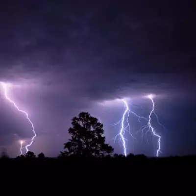
The arrival of 2026 could introduce more disruptive weather. As cold air moves closer to the UK, forecasters have indicated that wintry hazards become possible in some areas. The broader weather pattern is expected to shift slowly, with high pressure lingering over the North Atlantic.
Meanwhile, low pressure developing in the east is predicted to track through the North Sea. This system is likely to bring a spell of wet and windy conditions, especially to northern parts of the UK.
Looking Further Ahead into January
The Met Office outlook suggests conditions may settle again later in January, but with a trend towards colder and drier than average weather. Temperatures for the period are forecast to dip below the seasonal norm. However, this will be interspersed with bouts of rain, showers, and windy spells.
Detailed Forecast: Today Through Wednesday
Today (Saturday): Early fog will clear to give a sunny start for some. However, cloud will build from the north and east through the day, bringing light rain and drizzle to higher ground. It will feel breezy and chilly.
Tonight: Remaining mostly cloudy with further spots of drizzle. Under any clear spells in the northwest, it will feel particularly cold, with patchy frost forming by dawn where winds are light.
Sunday: Another settled day after a chilly start. Cloud will persist for many with patchy drizzle over hills, though brighter skies are expected in the west. Winds will ease everywhere.
Monday to Wednesday: High pressure continues to dominate, ensuring settled weather until the year's end. Skies will be mainly cloudy but with extensive dry periods. It will feel consistently chilly, with further overnight frosts expected in many places.