
UK Snow Alert: Exact Locations Set for Wintry Blast Within 48 Hours
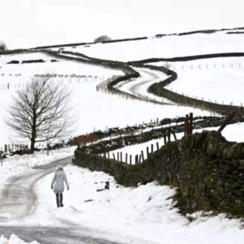
Britain is bracing for another wave of snowfall as meteorological forecasts indicate that chilly conditions will persist over the coming 48 hours. Multiple regions across the UK remain under official winter weather warnings, with disruptions expected from icy surfaces and wintry precipitation.
Current Weather Warnings and Affected Areas
The Met Office has issued yellow weather warnings this morning, covering north Wales, northern England, and the north of Scotland. These alerts highlight potential disruption from wintry conditions and risks of injuries from slips and falls on icy surfaces, following snowfall that began overnight. While these warnings are set to expire by this evening, parts of the Midlands could also experience snow and ice impacts.
According to weather maps from WXCharts, another cold blast is anticipated by Friday as cold air continues to sweep in from the east, colliding with rain bands. This could lead to further snowfall in specific locations.

Forecasted Snowfall Locations for Friday
Weather projections for Friday morning show a dark purple area, indicative of snow, concentrated over the Pennines. This includes parts of Yorkshire, Derbyshire, and Lancashire. Another significant snow area is visible around Aberdeenshire and Dumfries, suggesting widespread wintry conditions in these regions.
James Madden from Exacta Weather provided insights in a recent forecast, stating: "These rain bands are likely to coincide with cooler conditions across our shores, and there is growing confidence that they will start to turn wintry and to snow in places during Friday, particularly in parts of Ireland, Wales and in some central regions to begin with."
He added that there is low to moderate confidence for wintry weather in some eastern and western parts of Ireland during the same period. As these systems move northwards later on Friday, snow showers may become better organised in parts of northern England, Northern Ireland, and possibly north-east England.
Temperature Outlook and General Conditions
On Wednesday, maximum temperatures are forecast to reach 10C in London and Cardiff, 8C in Manchester, 7C in Belfast, and 5C in Edinburgh. Conditions are expected to dip towards the weekend across most regions, except the southeast, before temperatures rise again on Sunday.
For areas not experiencing snow, the weather will remain unsettled with a mix of sunshine and showers. The overall picture suggests continued variability, with hill snow expected across northern parts later in the week.
Weather Forecast Summary
Wednesday: Rain and hill snow will become confined to the north, with windy conditions, especially in the northeast. Drier weather with some brighter spells is expected further south, making it mild in the south and rather cold elsewhere.
Outlook for Thursday to Saturday: Unsettled conditions will persist through the week, with further outbreaks of cloud and rain. Brief bright spells may occur in places, but more hill snow is anticipated across northern regions later.


