
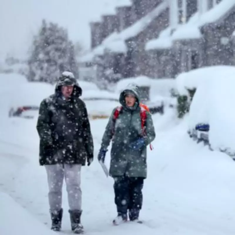
UK Braces for Major Snowstorm with 26 Inches Forecast for Scotland
Britain is preparing for a period of highly unsettled weather, with a massive snowstorm predicted to strike the UK next week, bringing as much as 26 inches of snow to one region. Advanced weather modelling maps from WXCharts indicate the snowstorm will arrive by 6am on February 12, with the most severe conditions concentrated in Scotland during the early hours.
Scotland Faces Heavy Snow Accumulations
Cities including Glasgow, Dundee, and Aberdeen, along with large swathes of the Highlands, are expected to be hit by persistent snowfall as the system intensifies through the morning. By 3pm, snowfall is forecast to peak across central and eastern Scotland, with the Cairngorms emerging as the epicentre of the heaviest accumulations.
WXCharts' data suggests snow depths in this area could reach up to 26 inches by the end of the day, while Glasgow and Dundee could see up to 20 inches. Parts of the Highlands are expected to record up to 15 inches, and areas south of Glasgow may face accumulations of around seven inches. At this stage, around 90% of Scotland is projected to be blanketed in snow, with conditions likely to be disruptive across higher grounds and inland routes.

Rain to Batter England and Wales
Further south, the weather picture looks markedly different. The majority of England and Wales is expected to be battered by rain rather than snow, particularly across the Midlands, including Stoke-on-Trent and Birmingham, as well as parts of Greater London, Southampton, Swansea, Bristol, and the wider south-west.
By 6pm, much of this rain is forecast to clear, though unsettled conditions may linger in Wales, Gloucestershire, London, and along eastern coastal areas including Ipswich, Norwich, and Kent. Rain is also expected to be persistent in Blackpool.
Snow Zone Widens Southwards
The snow zone is meanwhile predicted to widen southwards, with Newcastle emerging as the main area outside Scotland likely to see snowfall by the evening. Snow is also expected to continue across Glasgow, Dundee, Aberdeen, the Highlands, and the Cairngorms into the night until 9pm on February 12.
Met Office Issues Long-Range Forecast
This comes as the Met Office warned of high pressure dominating the north or northeast next week, bringing rain and snow. In its long-range forecast from February 10-19, the forecaster states: "Predominantly cyclonic patterns are expected to dominate the UK."
"Further fronts are likely to approach the UK at times and then become slow-moving as they butt up against high pressure to the north or northeast of the UK. Thus some southern and western areas remain most prone to seeing the wettest conditions, which will maintain sensitivity to further flooding impacts."
"Parts of northeast Britain may also be wetter than normal. Some snow is likely, especially in any colder airmasses that filter south or east into the UK and/or on the interface between mild and cold air. Strong winds are also possible at times."
"Temperatures will remain finely balanced during this period, with northeastern areas more likely to be colder than average, and southwestern areas perhaps seeing mild conditions at times."


