
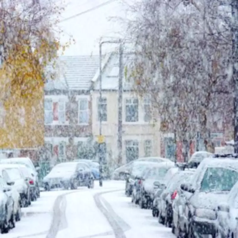
UK Snow Maps Predict Widespread Wintry Conditions in Mid-March
Weather maps have turned white, indicating a barrage of wintry showers is set to batter the United Kingdom in just two weeks' time. The latest forecasts suggest freezing conditions will strike on March 15, with snow reaching as far south as Cornwall and temperatures plunging to -1C across the country.
Detailed Snow Accumulation and Timing Predictions
Based on data from WXCharts, compiled using MetDesk information, approximately 21 cm of snow is expected to build up in areas surrounding Inverness. The cold conditions are projected to start hitting the country at roughly 12 noon on March 15, according to reports from the Express. Weather maps show layers of snow accumulating on many northern areas of the UK, with the system spreading over to Cornwall, as indicated by purple shading on the charts.
Met Office and Netweather.tv Long-Range Forecasts
The Met Office's long-range forecast covering March 6 to 15 states that high pressure will hold the greatest influence for much of this period, especially towards the south or southeast of the UK. This means many places will see plenty of dry weather with variable cloud amounts and some sunshine, with the best conditions likely in the south or southeast. However, frontal systems are still expected to affect the north and west at times, potentially pushing further east and bringing rain, strong winds, and some hill snow across high ground in the north. Temperatures will be near or above normal, with a few patchy overnight frosts possible.

Netweather.tv's monthly outlook for March 9 to 15 suggests winds will often continue from the south or south-west, keeping temperatures above average for most of the time. It is likely to be more unsettled than the preceding week, with low pressure systems extending further east and bringing bands of rain across the country, interspersed with brighter showery weather. Eastern Britain, especially eastern Scotland, may remain drier than normal, while western counties, particularly in south-western Britain, could see wetter conditions. Temperatures are expected to be 1 to 2C above normal for most areas, with nearer average readings in western Scotland and Northern Ireland.
Implications for Travel and Daily Life
As the snow maps reveal a -4C blizzard could bring flurries to major UK cities next week, residents are advised to brace for potential disruptions. The plummeting temperatures and wintry showers may impact travel, with roads and public transport possibly affected by the freezing conditions. Authorities are monitoring the situation closely, and updates will be provided as the date approaches.
In summary, the UK is facing a significant wintry blast in mid-March, with snow forecast to hit from the north down to Cornwall. While some areas may enjoy dry spells, the overall picture points to cold, unsettled weather that could challenge daily routines and infrastructure.


