New meteorological projections indicate that the United Kingdom is poised for a significant cold snap, with parts of the country facing up to sixty hours of blizzard-like conditions, frost, and strong winds. According to the latest data from WXCharts, which utilises MetDesk information, this chilly period is set to commence on the evening of Saturday, April 4, primarily affecting Scotland and northern England before extending southwards by the early hours of Sunday, April 5.
Regional Snowfall Predictions and Accumulations
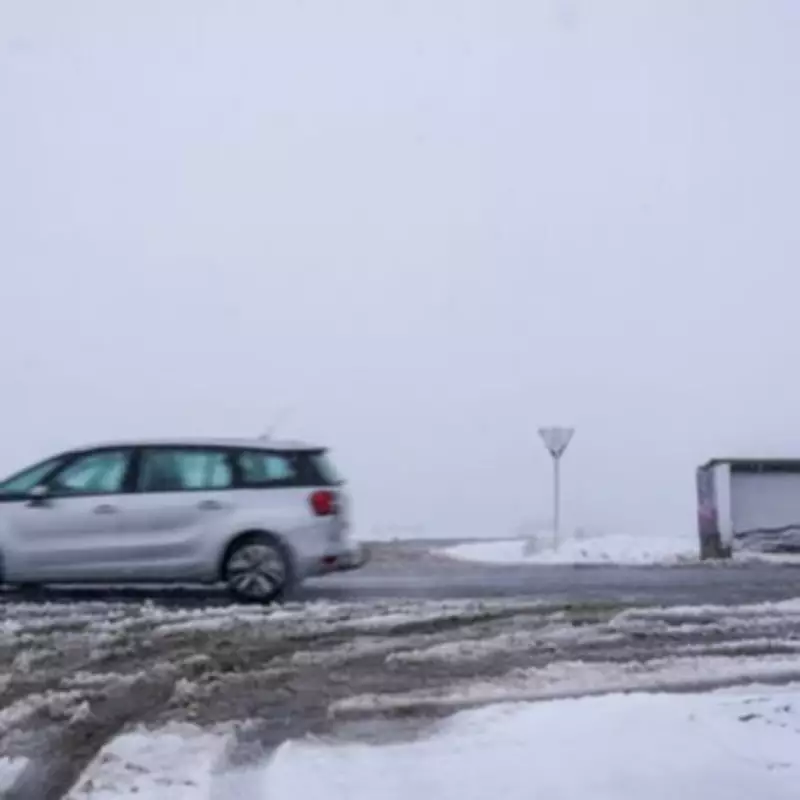
The weather maps forecast that northern regions, including Northumberland, Cumbria, and Durham, could experience snowfall around midday on Sunday, with accumulations reaching several centimetres in isolated areas. In North Yorkshire and sections of West Yorkshire, patchy snow is anticipated on elevated terrain, though amounts are projected to be relatively light. Further south, across Staffordshire and the West Midlands, any snow is likely to be scattered and brief, while much of southern England should remain largely snow-free.
Frost and Icy Conditions Across Multiple Counties
Despite the limited snowfall in the south, clear skies are expected to facilitate widespread frost formation overnight and into the morning in counties such as Oxfordshire, Hertfordshire, and Kent. This will result in a notably chilly start to the day for residents in these areas. The most substantial snow accumulations are predicted for northern Scotland, where the Highlands, Aberdeenshire, and Angus could see up to twelve centimetres on higher ground. Northern Ireland may encounter lighter coverings, mainly in Antrim and Down, while Wales and much of Ireland should expect only patchy and light snow with minimal accumulations.

Counties on Alert for Frosty Conditions
Fifteen counties across the UK have been identified as particularly at risk for frost and snowy conditions on April 5. In England, the affected areas include Northumberland, Durham, Cumbria, Staffordshire, West Midlands, and Yorkshire. Scotland's alerts cover Aberdeenshire, Angus, Highland, and Perthshire. In Wales, Gwynedd, Powys, and Swansea are on watch, while Northern Ireland's Antrim and Down are also highlighted.
Met Office Forecast and Long-Range Predictions
The Met Office has described the weather from Tuesday to Thursday as "changeable," with potential for "some drier and brighter intervals developing, especially in the southeast." However, conditions are expected to turn "cooler again by Thursday." In its extended forecast spanning April 3 to April 12, the Met Office indicates a probable northwest to southeast split. The northwest is likely to experience more unsettled weather due to low-pressure systems, bringing periods of strong winds and precipitation. Conversely, the southeast should see greater influence from high pressure, resulting in more settled and drier conditions. Overall temperatures are forecast to be near or slightly above normal, though overnight frost remains a possibility.
This impending cold spell underscores the variability of spring weather in the UK, with residents advised to prepare for potential disruptions and chilly starts as April begins.