
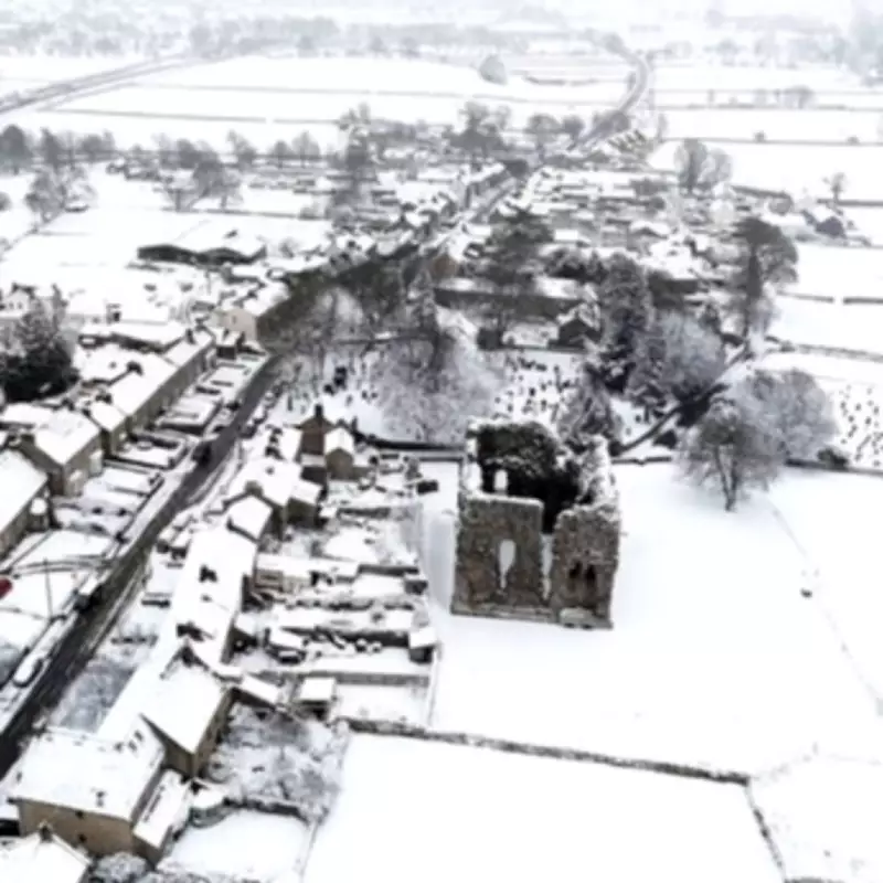
UK Braces for Fresh Snow Onslaught as New Weather Front Approaches
The United Kingdom is preparing for another punishing round of winter weather, with forecasters predicting a new snow front will strike in the coming days. This follows a weekend already marred by widespread snow, ice, and plummeting temperatures, which caused significant disruption across the nation.
Timeline of the Incoming Winter Misery
While conditions are expected to improve slightly on Monday, offering a brief respite, the relief will be short-lived. A new and potent weather system is forecast to bring a return of unsettled and severe conditions. The precise date for this renewed onslaught is Wednesday, February 18, with snow anticipated to begin falling across the UK by Wednesday evening.
According to the ECMWF weather model, the initial impacts on Wednesday are likely to be felt first in Northern Ireland, Wales, and western parts of England. The snow is then predicted to intensify and spread, potentially continuing well into Thursday.

Projected Snowfall and Regional Impacts
The Scottish Highlands could bear the brunt of the snowfall, with accumulations of up to nine inches (approximately 23 centimetres) expected in some areas. The snow is also forecast to move across most of central and northern England, creating hazardous travel conditions.
Most alarmingly, this chilly front is expected to develop into a blizzard along the west coast of Scotland and northern England from around 6pm on Thursday. This severe weather event could affect a swathe from Glasgow to Carlisle, bringing heavy snow and strong winds.
Context of Ongoing Weather Chaos
This forecast extends an already difficult period for the UK. The first two days of the week, Monday and Tuesday, are not expected to provide a clean break. Instead, unsettled and blustery conditions with showers are predicted nationwide, easing only slightly into Tuesday.
The situation follows a weekend where authorities were grappling with extensive flooding. As of Sunday morning, there were 74 flood warnings and 162 flood alerts active across England. Jonathan Day, Flood Duty Manager at the Environment Agency, reported that while flood defences had protected over 24,000 homes and businesses, approximately 330 properties had still been flooded.
Additionally, a yellow snow warning remained in force for parts of eastern England until 4pm on Sunday, warning of potential travel disruption from slushy accumulations of 1-4cm.
Long-Range Forecast: Little Sustained Relief
The outlook beyond the mid-week blizzard offers little comfort. The Met Office's long-range forecast for the period from Friday, February 20, to Sunday, March 1, suggests continued volatility.
The forecast states: "Showers or longer spells of rain, as well as occasional strong winds, are most likely at first as Atlantic low pressure systems dominate in the vicinity of the UK. Some heavy rain is likely in places, with some snow probable at times, mainly on high ground in the north."
It adds that temperatures will vary, potentially remaining cold in the north, and while drier interludes may become more likely as the period progresses, the overall pattern remains unsettled and wintry for the foreseeable future.


