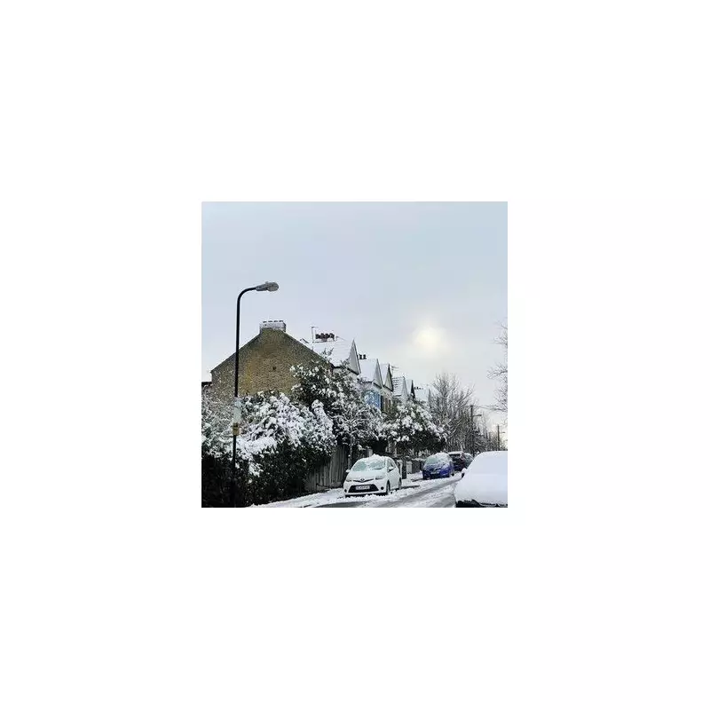
Britain is set for a dramatic shift to wintry conditions in early January, with new weather maps predicting a widespread blanket of snow across a huge swathe of the country. Forecasts from WXCharts indicate that a staggering 101 counties and areas could be hit by snowfall on Thursday, January 8.
Widespread Snowfall Predicted for January 8
The latest data visualisations show a deep purple wave, indicative of significant snow, engulfing most of mainland Britain and Northern Ireland. The event is currently modelled to peak around 6am on that Thursday, with snow persisting throughout the day for many regions. This follows a relatively mild December for much of the UK, signalling a sharp turn towards winter weather as the new year begins.
While the Met Office has not yet confirmed specific snow predictions for January due to the inherent forecasting challenges, its broader outlook for the start of the month mentions a "cold, showery, northerly flow" and cautions about "wintry hazards including perhaps snow to low levels." The national forecaster suggests temperatures will likely be below average for much of the period.
Full List of Counties and Areas Forecast for Snow
According to the WXCharts maps published by the Express, the following counties and regions are expected to see snow on January 8:
England: Bedfordshire, Devon, Herefordshire, Northamptonshire, Surrey, Berkshire, Hertfordshire, Northumberland, Tyne and Wear, Bristol, County Durham, Nottinghamshire, Warwickshire, Buckinghamshire, East Riding of Yorkshire, Oxfordshire, West Midlands, Cambridgeshire, Lancashire, Rutland, Cheshire, Essex, Leicestershire, Shropshire, West Yorkshire, Gloucestershire, Lincolnshire, Somerset, Wiltshire, Cornwall, Merseyside, South Yorkshire, Worcestershire, Cumbria, Greater Manchester, Norfolk, Staffordshire, Derbyshire, Hampshire, North Yorkshire, Suffolk.
Wales: Isle of Anglesey, Gwynedd, Conwy, Denbighshire, Flintshire, Wrexham, Ceredigion, Powys, Carmarthenshire, Swansea, Neath Port Talbot, Bridgend, Vale of Glamorgan, Rhondda Cynon Taff, Cardiff, Merthyr Tydfil, Caerphilly, Newport, Torfaen, Blaenau Gwent, Monmouthshire.
Scotland: Aberdeenshire, Angus, Argyll, Ayrshire, Banffshire, Berwickshire, Buteshire, Caithness, Clackmannanshire, Dumfriesshire, Dunbartonshire, East Lothian, Fife, Inverness-shire, Kincardineshire, Kinross-shire, Kirkcudbrightshire, Lanarkshire, Midlothian, Moray, Nairnshire, Orkney, Peebleshire, Perthshire, Renfrewshire, Ross and Cromarty, Roxburghshire, Selkirkshire, Shetland, Stirlingshire, Sutherland, West Lothian, Wigtownshire.
Northern Ireland: Antrim, Armagh, Fermanagh, Tyrone, Down, Derry/Londonderry.
Met Office Outlook and Potential Impacts
The Met Office's extended forecast suggests the initial cold, showery spell may give way to a "fairly settled period," but not before bringing the risk of disruptive weather. Their statement notes: "Showers will likely spread further inland at times, and there may be some windier periods with more prolonged rain." The maps suggest the heaviest snow accumulations are likely in the North East of England and Scotland, with temperatures potentially plunging as low as -10°C in some areas.
Residents across the listed counties are advised to monitor the latest forecasts from the Met Office as the date approaches, particularly for travel disruption updates. The predicted scale of this snow event, if it materialises, would mark one of the most extensive January snowfalls in recent years.


