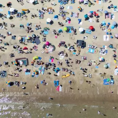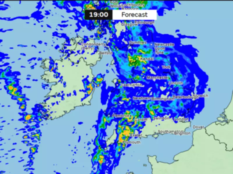
The Met Office has issued warnings for 34 English counties as weather maps indicate 30 hours of relentless heavy rain from Monday, June 1, through Tuesday night. This dramatic shift follows the UK's hottest May day on record, with temperatures reaching 35.1°C in Kew Gardens, London.
When and Where the Rain Will Hit
Rainfall is expected to begin at 1pm on Monday, sweeping across Wales before spreading into England. The downpours are forecast to persist until approximately 7pm on Tuesday, affecting a vast swath of the country. Among the counties bracing for a drenching are Wiltshire, Shropshire, Merseyside, Cheshire, Greater Manchester, Lancashire, Cumbria, North Yorkshire, West Yorkshire, East Riding of Yorkshire, Derbyshire, Worcestershire, Warwickshire, Oxfordshire, Gloucestershire, Herefordshire, Somerset, Dorset, Devon, Cornwall, Bristol, Northumberland, East Sussex, Hampshire, Kent, Essex, Berkshire, Surrey, Buckinghamshire, Cambridgeshire, Staffordshire, West Sussex, Suffolk, and Norfolk.
End of the Heatwave
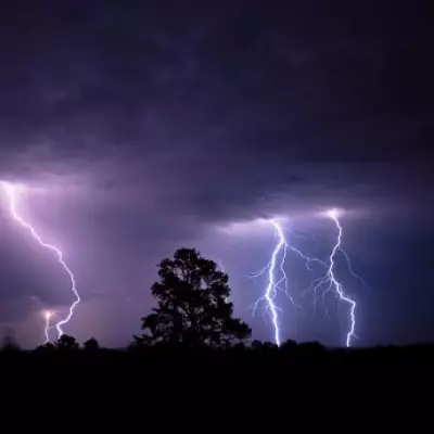
Chief Forecaster Chris Bulmer explained, "We're now starting to see this spell of very hot weather break down." While parts of the southeast may still reach 32°C on Thursday, a weak cold front will bring fresher conditions through Friday and into the weekend. By Saturday, most of the UK will experience more changeable weather, with showers and possible thunderstorms.

What to Expect Next Week
The Met Office's long-range forecast indicates that meteorological summer will begin on an unsettled note. Spells of rain on Monday could be followed by heavy, thundery showers on Tuesday. Temperatures are expected to return to near-average levels, with brighter intervals breaking up the rain. "As the heat starts to ease, the weather will also turn more changeable," Bulmer added.
Residents in affected areas are advised to prepare for potential flooding and travel disruptions as the heavy rain sets in.