
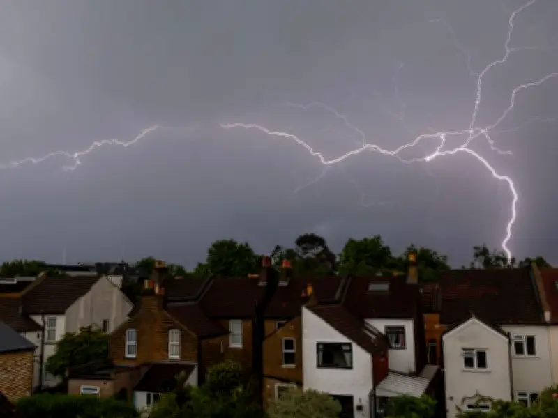
Weather maps show violent thunderstorms are set to abruptly end the UK's latest heatwave, with storms forecast across Wales, the Midlands, northern England, London, and Scotland from Sunday afternoon.
After days of scorching sunshine and temperatures climbing into the high 30s Celsius, forecasters say a plume of hot air will become increasingly unstable, triggering potentially severe thunderstorms capable of bringing torrential rain, frequent lightning, hail, and flash flooding.
Timing and Regions Affected
Weather maps suggest the first signs of storm activity will emerge across parts of the Southwest of England and parts of Wales from around mid-afternoon on Sunday. The storms are then expected to intensify and spread north and east as the evening progresses, returning in the week.

According to the latest charts, parts of Cornwall, Devon, Somerset, and south Wales could begin to see thunderstorm activity from around 3pm on Sunday, with heavy bursts of rain developing rapidly in the warm and humid conditions.
Midlands and Northwest England
By approximately 5pm to 6pm on Sunday, the zone of unsettled weather is forecast to expand into the Midlands and the Northwest of England. Cities including Birmingham, Stoke-on-Trent, Manchester, and Liverpool could all be at risk of thunderstorms during the evening commute, potentially causing disruption on roads and rail networks.
Yorkshire, Humber, East Anglia, and Northeast
Forecasters predict the storms will continue tracking eastwards through the evening. By around 8pm to 10pm on Sunday, parts of Yorkshire, the Humber region, East Anglia, and the Northeast could experience intense downpours and lightning strikes.
London and Southeast
London and much of the Southeast may not see the worst of the storms until later in the night, with weather maps indicating thunderstorm activity could arrive between 9pm and midnight before continuing into the early hours of Monday.
Scotland and Northern Ireland
Parts of southern and central Scotland are also expected to be affected late on Sunday and into Monday morning as the unstable air mass moves northwards across the UK. Forecasters understand Northern Ireland's heatwave will end abruptly on Monday night when the monster thunderstorm moves north over the nation, with rain particularly heavy and lingering into Tuesday morning.
Met Office Warning
The Met Office has warned that the breakdown of the heatwave could bring dangerous weather conditions in some areas. A spokesperson for the Met Office said: "Temperatures will quickly rise on Monday and are forecast to reach 34C in southern parts of England. However, this brings with it the chance of thundery showers for some."
Meteorologists have explained that the storms are being fuelled by a clash between exceptionally warm, humid air drawn north from continental Europe and cooler Atlantic air beginning to push in from the west. This contrast in temperatures creates atmospheric instability, significantly increasing the likelihood of sudden and intense thunderstorms.
Approximate Thunderstorm Timings by Region
- South West England and Wales: From around 3pm on Sunday.
- Midlands: Between 5pm and 7pm on Sunday.
- North West England: From around 5pm onwards.
- Yorkshire and the North East: Between 8pm and 10pm.
- London and the South East: Between 9pm and midnight.
- Southern Scotland: Late Sunday evening into the early hours of Monday.
Forecasters say the thunderstorms should help bring an end to the most intense heat in many areas, although temperatures are still expected to remain above average for the time of year across much of the UK next week. Looking further ahead, forecasters say Tuesday is expected to bring a more changeable picture across much of the UK, with sunny spells interspersed with showers and the risk of further thunderstorms in some areas as fresher Atlantic air pushes in. Temperatures are still expected to remain above average for the time of year despite the breakdown of the intense heat.